Transport Functions
Port
Rail
Hub Profile
Place type
District seat
Region
Grand Est
Population
21,798
Time zone
Europe/Paris
Elevation
220 m
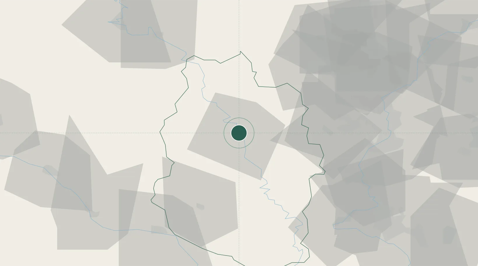
Location
Nearby Logistics Neighbours
Cities
- 1Dieue-Sur-Meuse11 km
- 2Ambly-sur-Meuse17 km
- 3Combres-sous-les-Côtes22 km
- 4Spincourt27 km
- 5Chauvoncourt31 km
Airports
Trade Zones
- 1ZFU Woippy-Metz56 km
- 2ZFU Metz57 km
- 3ZFU Saint-Dizier70 km
- 4ZFU Maxéville, Laxou, et de Nancy77 km
- 5Luxembourg Free Port80 km
DatabookThe Record of Consolidated Knowledge
France beyond logistics?