UN/LOCODE hub · France
FRPOP

Plescop

47.7000°, -2.8000°
4,275
Population
2
Transport functions

Transport Functions

Road
Multimodal
UN/LOCODE

Hub Profile

Place type
Populated place
GeoNames
Region
Brittany
GeoNames
Population
4,275
GeoNames
Time zone
Europe/Paris
GeoNames
Elevation
51 m
GeoNames

Location

Location of FRPOP
Natural Earth 10m (public domain) · Brittany · FRPOP · 47.70, -2.80GoogleOSMYandex

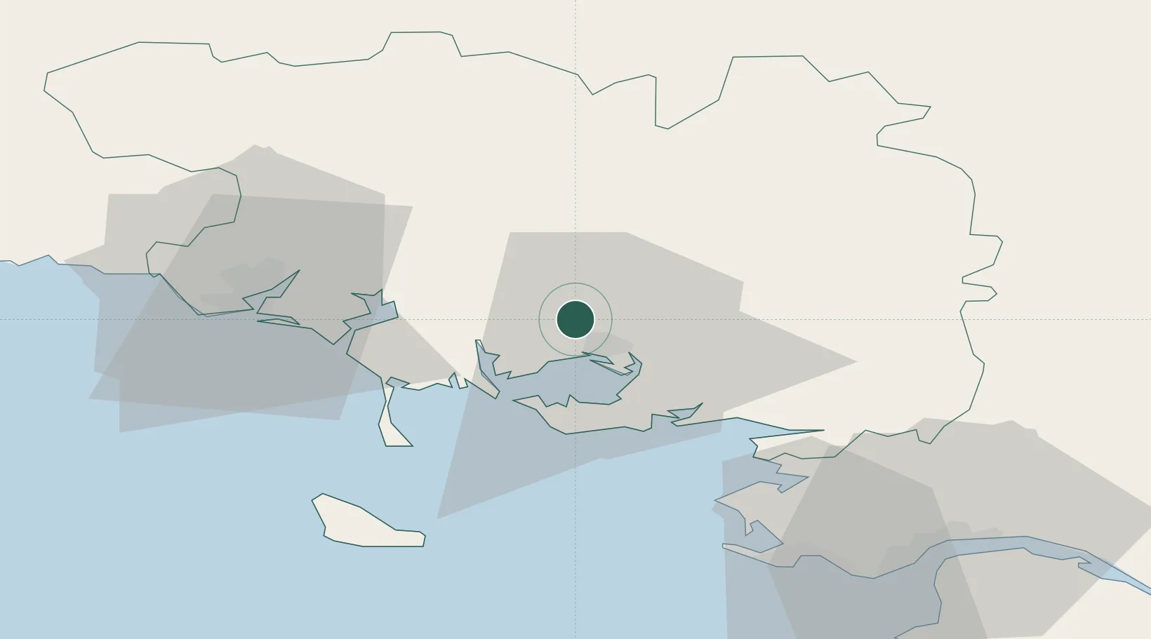
Nearby Logistics Neighbours

Cities
  1. 1Vannes6 km
  2. 2Séné10 km
  3. 3Le Moustoir10 km
  4. 4Baden13 km
  5. 5Treffléan14 km
Nearest neighbours — logibook spatial index (haversine) over the source coordinates
Ports
  1. 1Lorient42 km
  2. 2St Nazaire65 km
  3. 3Montoir67 km
  4. 4Donges71 km
  5. 5Concarneau86 km
Nearest neighbours — logibook spatial index (haversine) over the source coordinates
Airports
  1. 1Vannes-Meucon Airport7 km
  2. 2Lorient South Brittany (Bretagne Sud) Airport48 km
  3. 3Aérodrome de Belle Île51 km
  4. 4La Baule-Escoublac Airport57 km
  5. 5Saint-Nazaire-Montoir Airport65 km
Nearest neighbours — logibook spatial index (haversine) over the source coordinates
Trade Zones
  1. 1ZFU Saint-Nazaire61 km
  2. 2ZFU Nantes et Saint-Herblain98 km
  3. 3ZFU Angers167 km
  4. 4ZFU La Rochelle209 km
  5. 5ZFU Le Mans221 km
Nearest neighbours — logibook spatial index (haversine) over the source coordinates
DatabookThe Record of Consolidated Knowledge
France beyond logistics?
Browse databook

All Sources

LocationsUN/LOCODE
UN/LOCODE — free
LocationsGeoNames
CC BY 4.0
Portsthe NGA World Port Index
Public domain (US gov)
AirportsOurAirports
Public domain
Trade Zonesthe World Bank SEZ database
CC BY 4.0
Trade ZonesOpen Zone Map
CC BY
← France locations