Transport Functions
Multimodal
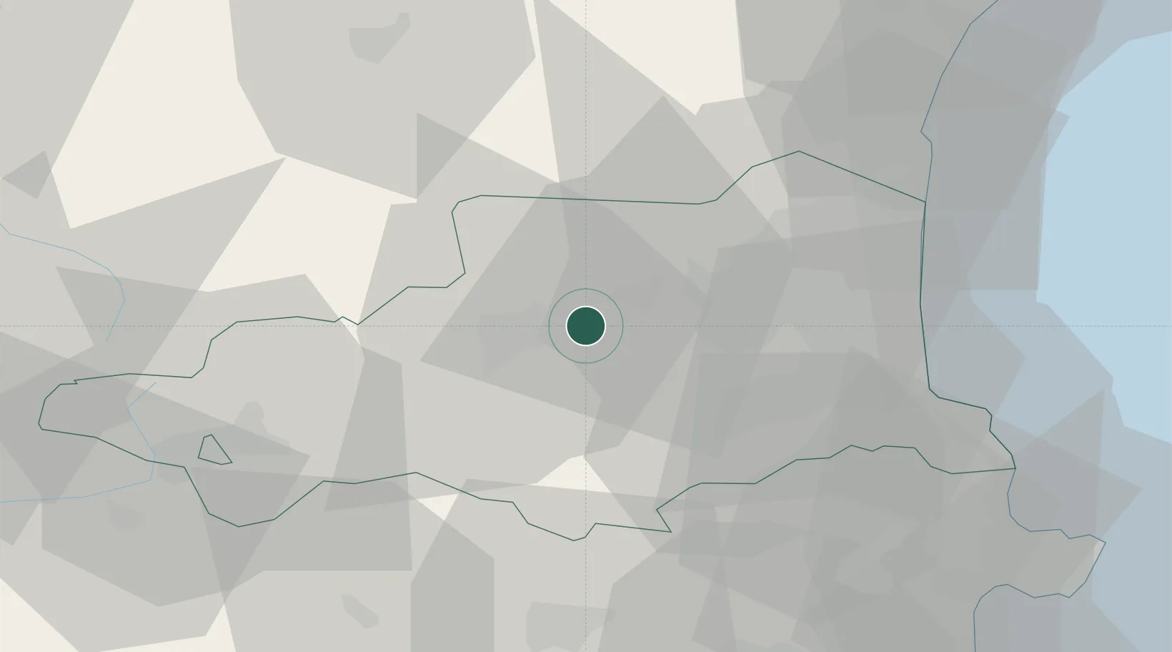
Hub Profile
Place type
Populated place
Region
Occitanie
Population
1,826
Time zone
Europe/Paris
Elevation
270 m
Location
Nearby Logistics Neighbours
Cities
- 1Tarerach6 km
- 2Ille-sur-Têt7 km
- 3Bélesta9 km
- 4Corbère11 km
- 5Cassagnes13 km
Ports
- 1Port-Vendres50 km
- 2Port-La-Nouvelle60 km
- 3Rosas68 km
- 4Palamos103 km
- 5San Feliu De Guixols105 km
Airports
Trade Zones
- 1ZFU Perpignan30 km
- 2ZFU Béziers94 km
- 3ZFU Toulouse138 km
- 4Zona Franca de Barcelona150 km
- 5ZFU Montpellier150 km
DatabookThe Record of Consolidated Knowledge
France beyond logistics?