Transport Functions
Multimodal
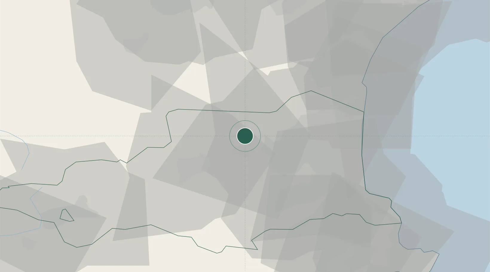
Hub Profile
Place type
Populated place
Region
Occitanie
Population
218
Time zone
Europe/Paris
Elevation
350 m
Location
Nearby Logistics Neighbours
Cities
- 1Rasiguères2 km
- 2Latour-de-France3 km
- 3Bélesta4 km
- 4Lansac5 km
- 5Montner5 km
Ports
- 1Port-La-Nouvelle47 km
- 2Port-Vendres48 km
- 3Rosas71 km
- 4Palamos110 km
- 5San Feliu De Guixols113 km
Airports
Trade Zones
- 1ZFU Perpignan23 km
- 2ZFU Béziers81 km
- 3ZFU Toulouse135 km
- 4ZFU Montpellier138 km
- 5Zona Franca de Barcelona163 km
DatabookThe Record of Consolidated Knowledge
France beyond logistics?