Transport Functions
Road
Multimodal
Hub Profile
Place type
Populated place
Region
Occitanie
Population
236
Time zone
Europe/Paris
Elevation
374 m
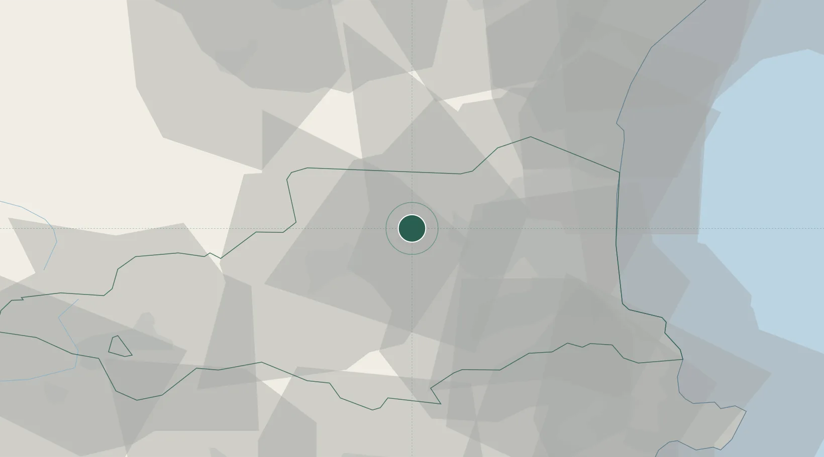
Location
Nearby Logistics Neighbours
Cities
- 1Cassagnes4 km
- 2Rasiguères6 km
- 3Ille-sur-Têt6 km
- 4Lansac6 km
- 5Latour-de-France7 km
Ports
- 1Port-Vendres48 km
- 2Port-La-Nouvelle51 km
- 3Rosas69 km
- 4Palamos107 km
- 5San Feliu De Guixols110 km
Airports
Trade Zones
- 1ZFU Perpignan24 km
- 2ZFU Béziers85 km
- 3ZFU Toulouse136 km
- 4ZFU Montpellier141 km
- 5Zona Franca de Barcelona159 km
DatabookThe Record of Consolidated Knowledge
France beyond logistics?