Transport Functions
Multimodal
Hub Profile
Place type
Populated place
Region
Occitanie
Population
5,470
Time zone
Europe/Paris
Elevation
156 m
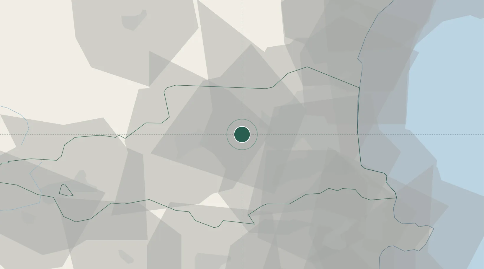
Location
Nearby Logistics Neighbours
Ports
- 1Port-Vendres44 km
- 2Port-La-Nouvelle54 km
- 3Rosas64 km
- 4Palamos101 km
- 5San Feliu De Guixols104 km
Airports
Trade Zones
- 1ZFU Perpignan23 km
- 2ZFU Béziers89 km
- 3ZFU Toulouse141 km
- 4ZFU Montpellier144 km
- 5Zona Franca de Barcelona154 km
DatabookThe Record of Consolidated Knowledge
France beyond logistics?