Transport Functions
Road
Multimodal
Hub Profile
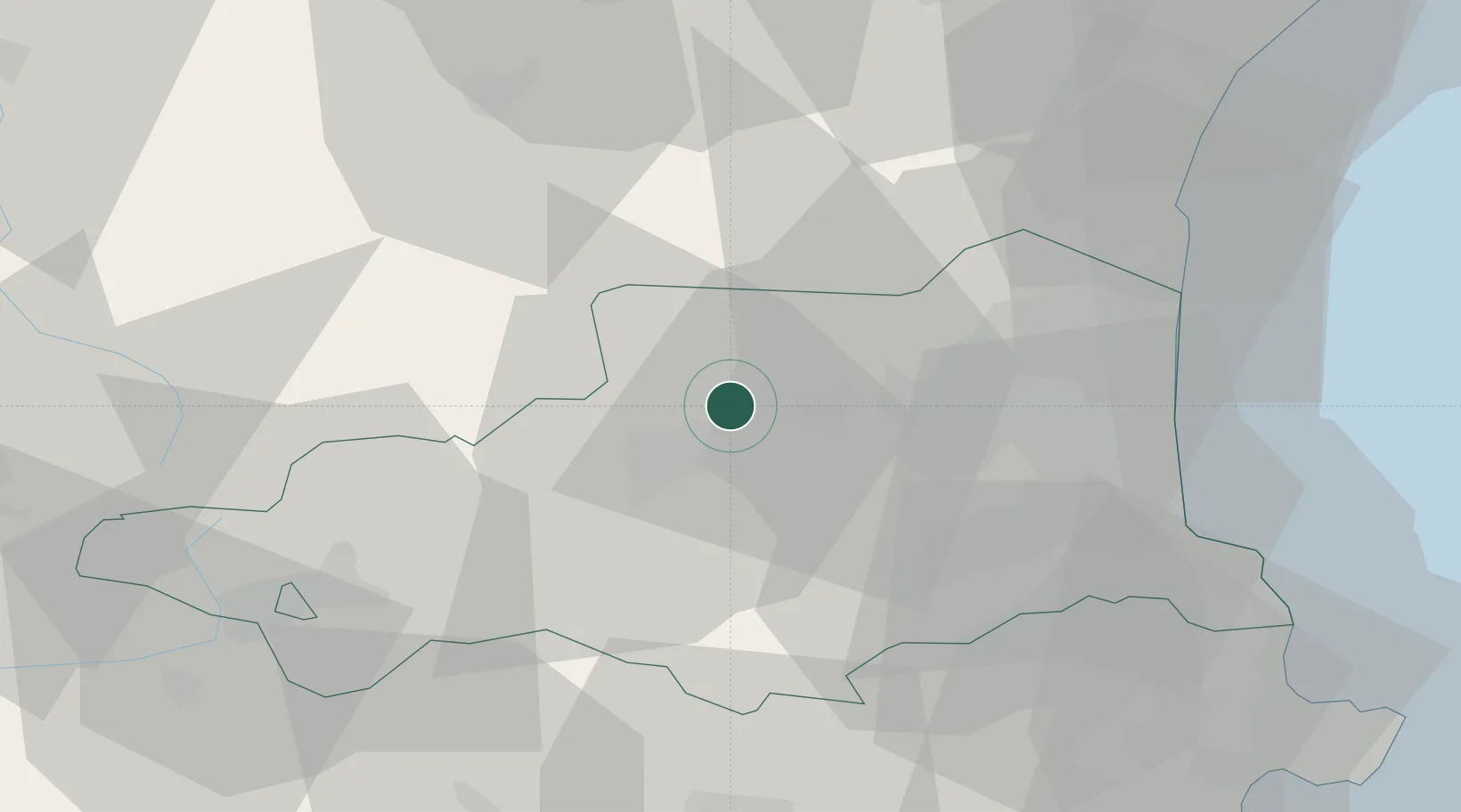
Place type
Populated place
Region
Occitanie
Population
42
Time zone
Europe/Paris
Elevation
533 m
Location
Nearby Logistics Neighbours
Cities
- 1Vinça6 km
- 2Bélesta8 km
- 3Lansac9 km
- 4Saint-Arnac10 km
- 5Ille-sur-Têt10 km
Ports
- 1Port-Vendres54 km
- 2Port-La-Nouvelle58 km
- 3Rosas74 km
- 4Palamos109 km
- 5San Feliu De Guixols111 km
Airports
Trade Zones
- 1ZFU Perpignan32 km
- 2ZFU Béziers92 km
- 3ZFU Toulouse132 km
- 4ZFU Montpellier149 km
- 5Zona Franca de Barcelona155 km
DatabookThe Record of Consolidated Knowledge
France beyond logistics?