Transport Functions
Multimodal
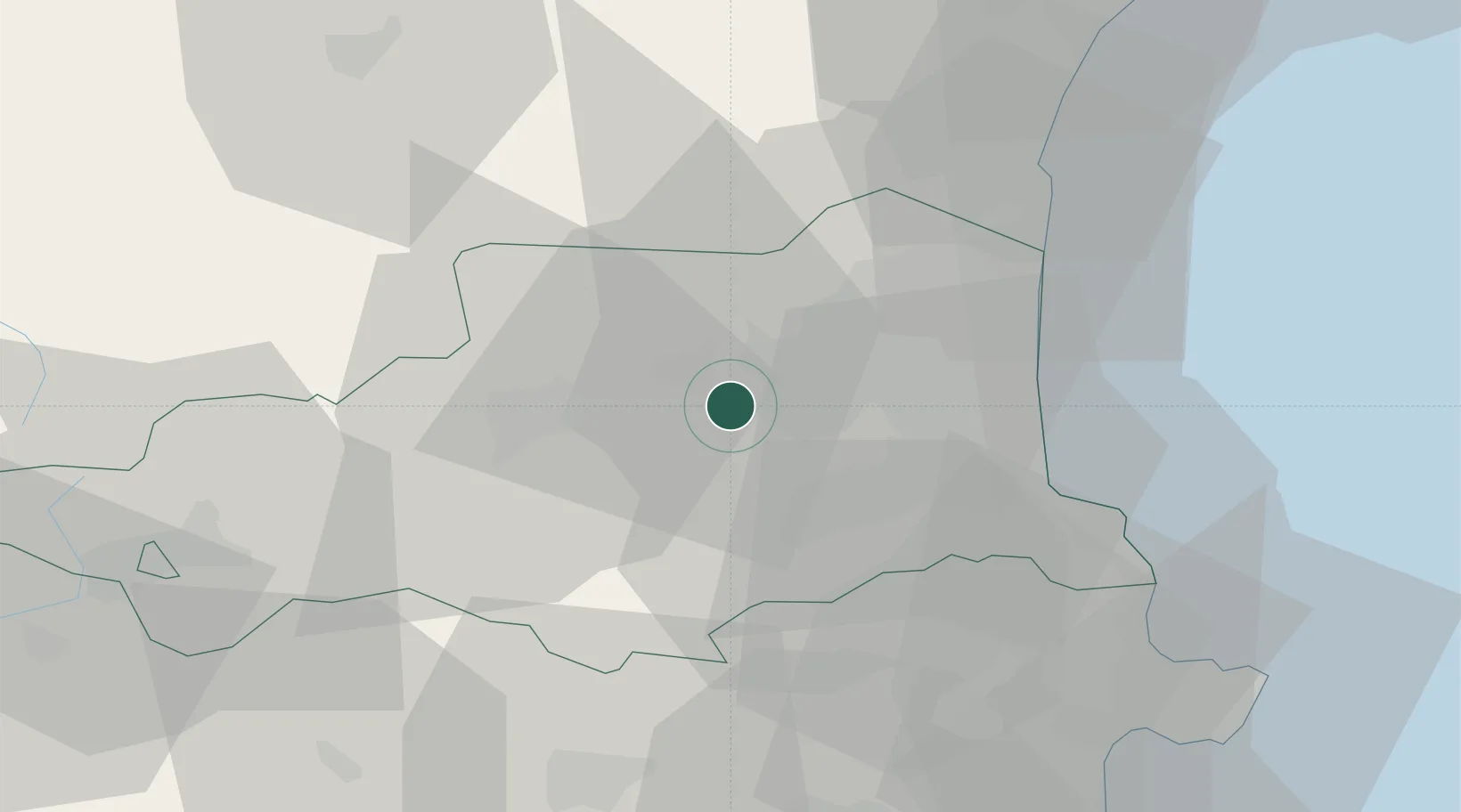
Hub Profile
Place type
Populated place
Region
Occitanie
Population
596
Time zone
Europe/Paris
Elevation
200 m
Location
Nearby Logistics Neighbours
Cities
- 1Ille-sur-Têt5 km
- 2Millas6 km
- 3Saint-Féliu-d'Avall7 km
- 4Corneilla-la-Rivière8 km
- 5Bélesta9 km
Ports
- 1Port-Vendres40 km
- 2Port-La-Nouvelle52 km
- 3Rosas60 km
- 4Palamos98 km
- 5San Feliu De Guixols101 km
Airports
Trade Zones
- 1ZFU Perpignan19 km
- 2ZFU Béziers88 km
- 3ZFU Montpellier143 km
- 4ZFU Toulouse145 km
- 5Zona Franca de Barcelona153 km
DatabookThe Record of Consolidated Knowledge
France beyond logistics?