UN/LOCODE hub · France
FRVMV

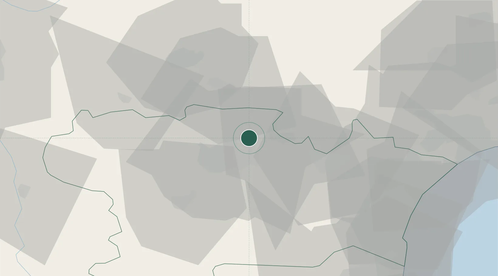
Villeneuve-Minervois

43.3167°, 2.4667°
881
Population
1
Transport functions

Transport Functions

Multimodal
UN/LOCODE

Hub Profile

Place type
Populated place
GeoNames
Region
Occitanie
GeoNames
Population
881
GeoNames
Time zone
Europe/Paris
GeoNames
Elevation
196 m
GeoNames

Location

Location of FRVMV
Natural Earth 10m (public domain) · Occitanie · FRVMV · 43.32, 2.47GoogleOSMYandex

Nearby Logistics Neighbours

Cities
  1. 1Sallèles-Cabardès3 km
  2. 2Villegly4 km
  3. 3Caunes-Minervois4 km
  4. 4Bagnoles6 km
  5. 5Trausse8 km
Nearest neighbours — logibook spatial index (haversine) over the source coordinates
Ports
  1. 1Port-La-Nouvelle59 km
  2. 2Sete100 km
  3. 3Port-Vendres104 km
  4. 4Rosas131 km
  5. 5Palamos173 km
Nearest neighbours — logibook spatial index (haversine) over the source coordinates
Airports
  1. 1Carcassonne Salvaza Airport17 km
  2. 2Castres Mazamet Airport30 km
  3. 3Béziers Vias airport72 km
  4. 4Perpignan-Rivesaltes (Llabanère) Airport72 km
  5. 5Albi Le Sequestre airport72 km
Nearest neighbours — logibook spatial index (haversine) over the source coordinates
Trade Zones
  1. 1ZFU Béziers61 km
  2. 2ZFU Perpignan77 km
  3. 3ZFU Toulouse89 km
  4. 4ZFU Montpellier116 km
  5. 5ZFU Nîmes162 km
Nearest neighbours — logibook spatial index (haversine) over the source coordinates
DatabookThe Record of Consolidated Knowledge
France beyond logistics?
Browse databook

All Sources

LocationsUN/LOCODE
UN/LOCODE — free
LocationsGeoNames
CC BY 4.0
Portsthe NGA World Port Index
Public domain (US gov)
AirportsOurAirports
Public domain
Trade Zonesthe World Bank SEZ database
CC BY 4.0
Trade ZonesOpen Zone Map
CC BY
← France locations