Transport Functions
Multimodal
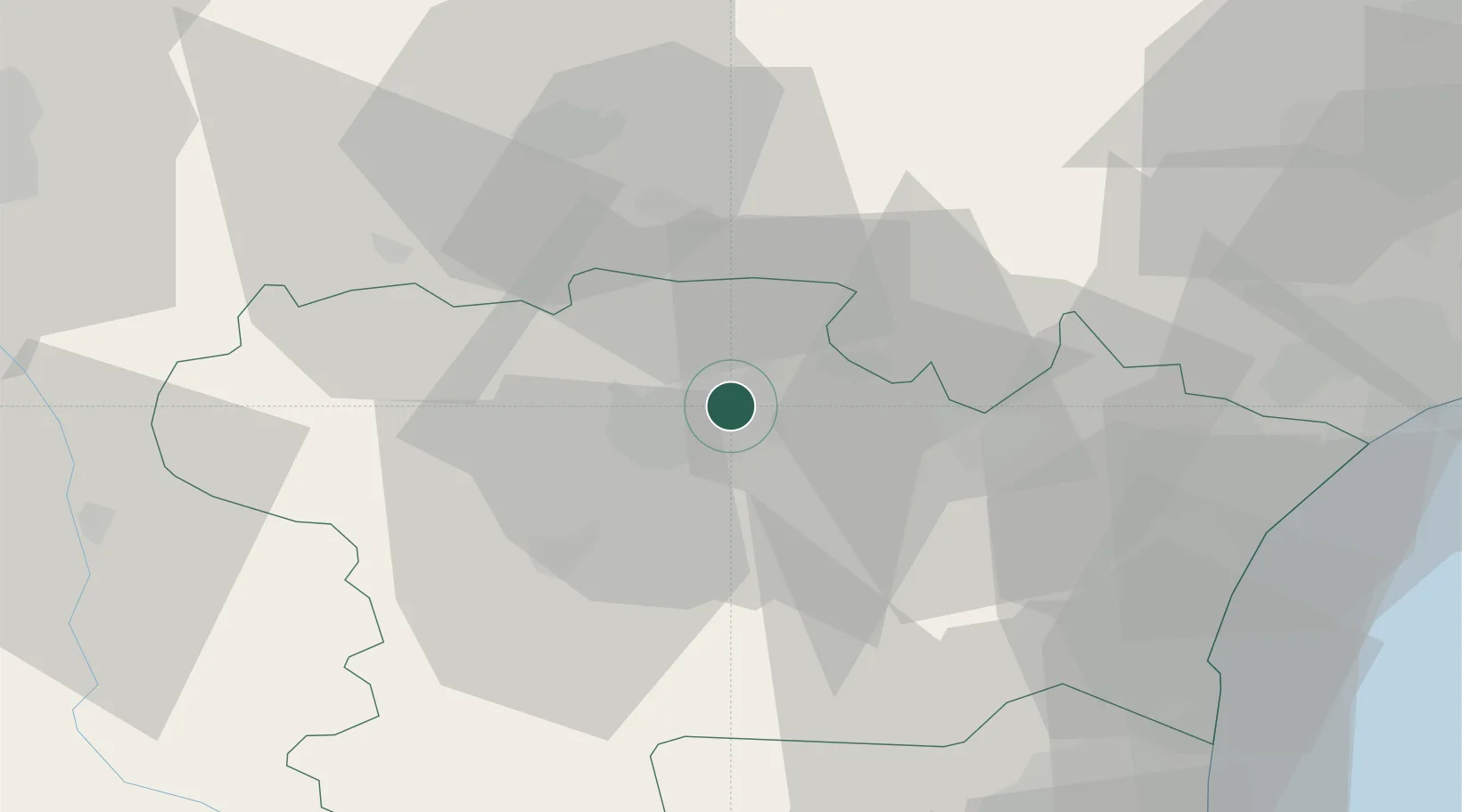
Hub Profile
Place type
Populated place
Region
Occitanie
Time zone
Europe/Paris
Elevation
131 m
Location
Nearby Logistics Neighbours
Cities
- 1Villegly2 km
- 2Villegailhenc5 km
- 3Trèbes6 km
- 4Sallèles-Cabardès6 km
- 5Villemoustaussou6 km
Ports
- 1Port-La-Nouvelle58 km
- 2Port-Vendres100 km
- 3Sete104 km
- 4Rosas127 km
- 5Palamos169 km
Airports
Trade Zones
- 1ZFU Béziers64 km
- 2ZFU Perpignan73 km
- 3ZFU Toulouse88 km
- 4ZFU Montpellier120 km
- 5ZFU Nîmes166 km
DatabookThe Record of Consolidated Knowledge
France beyond logistics?