Transport Functions
Multimodal
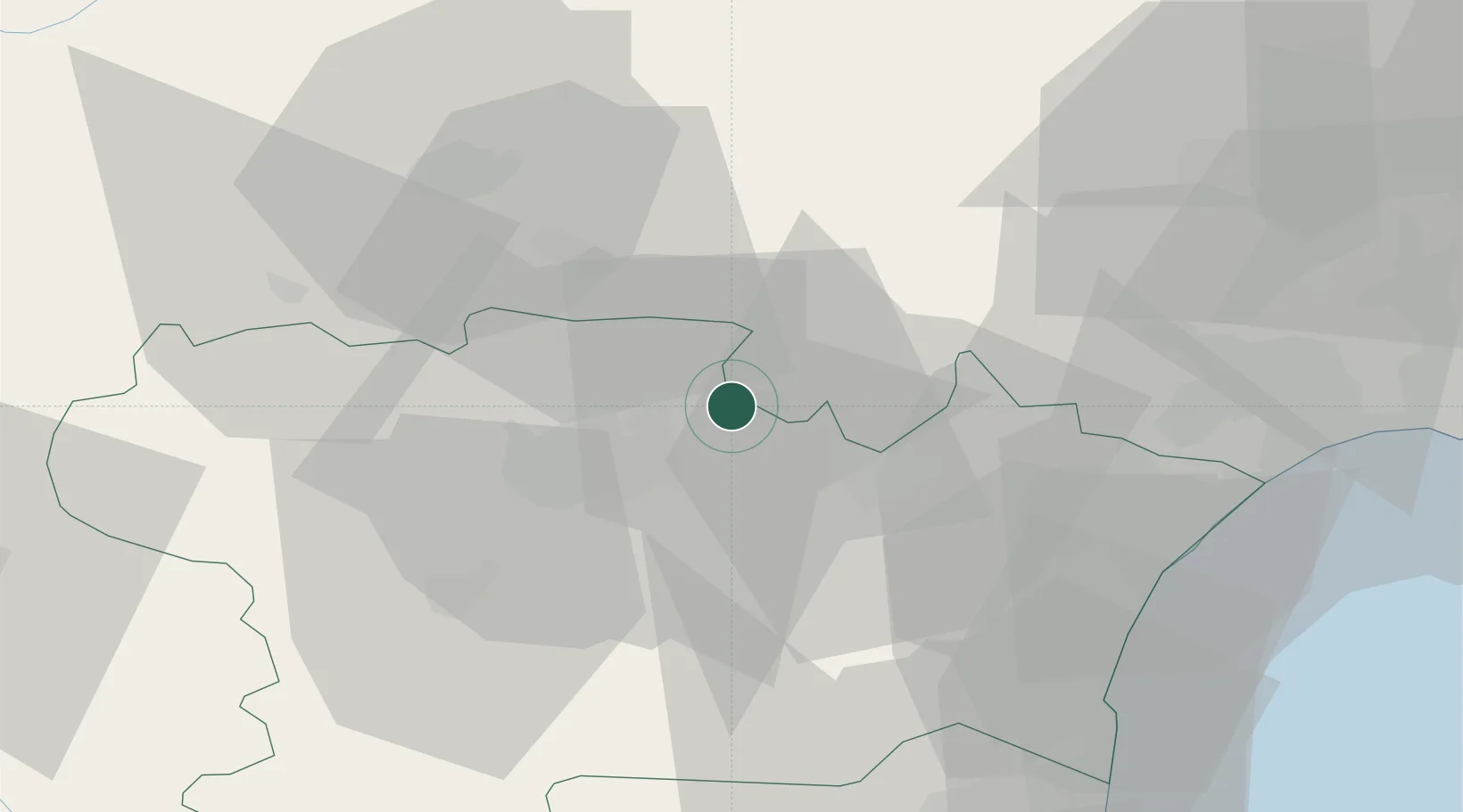
Hub Profile
Place type
Populated place
Region
Occitanie
Population
485
Time zone
Europe/Paris
Elevation
155 m
Location
Nearby Logistics Neighbours
Cities
- 1Peyriac-Minervois2 km
- 2Félines-Minervois3 km
- 3Caunes-Minervois4 km
- 4Saint-Frichoux7 km
- 5Villeneuve-Minervois8 km
Ports
- 1Port-La-Nouvelle53 km
- 2Sete92 km
- 3Port-Vendres100 km
- 4Rosas127 km
- 5Palamos171 km
Airports
Trade Zones
- 1ZFU Béziers53 km
- 2ZFU Perpignan74 km
- 3ZFU Toulouse96 km
- 4ZFU Montpellier108 km
- 5ZFU Nîmes154 km
DatabookThe Record of Consolidated Knowledge
France beyond logistics?