Transport Functions
Road
Multimodal
Hub Profile
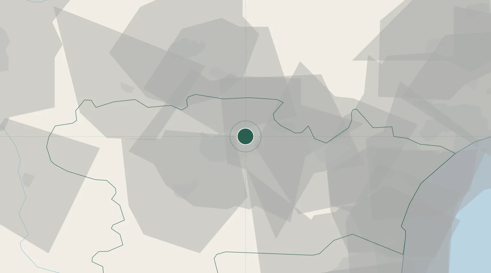
Place type
Populated place
Region
Occitanie
Population
802
Time zone
Europe/Paris
Elevation
147 m
Location
Nearby Logistics Neighbours
Cities
- 1Bagnoles2 km
- 2Sallèles-Cabardès4 km
- 3Villeneuve-Minervois4 km
- 4Villegailhenc7 km
- 5Trèbes8 km
Ports
- 1Port-La-Nouvelle58 km
- 2Port-Vendres101 km
- 3Sete102 km
- 4Rosas128 km
- 5Palamos170 km
Airports
Trade Zones
- 1ZFU Béziers62 km
- 2ZFU Perpignan74 km
- 3ZFU Toulouse89 km
- 4ZFU Montpellier118 km
- 5ZFU Nîmes164 km
DatabookThe Record of Consolidated Knowledge
France beyond logistics?