Transport Functions
Rail
Road
Hub Profile
Place type
Populated place
Region
Occitanie
Population
1,593
Time zone
Europe/Paris
Elevation
198 m
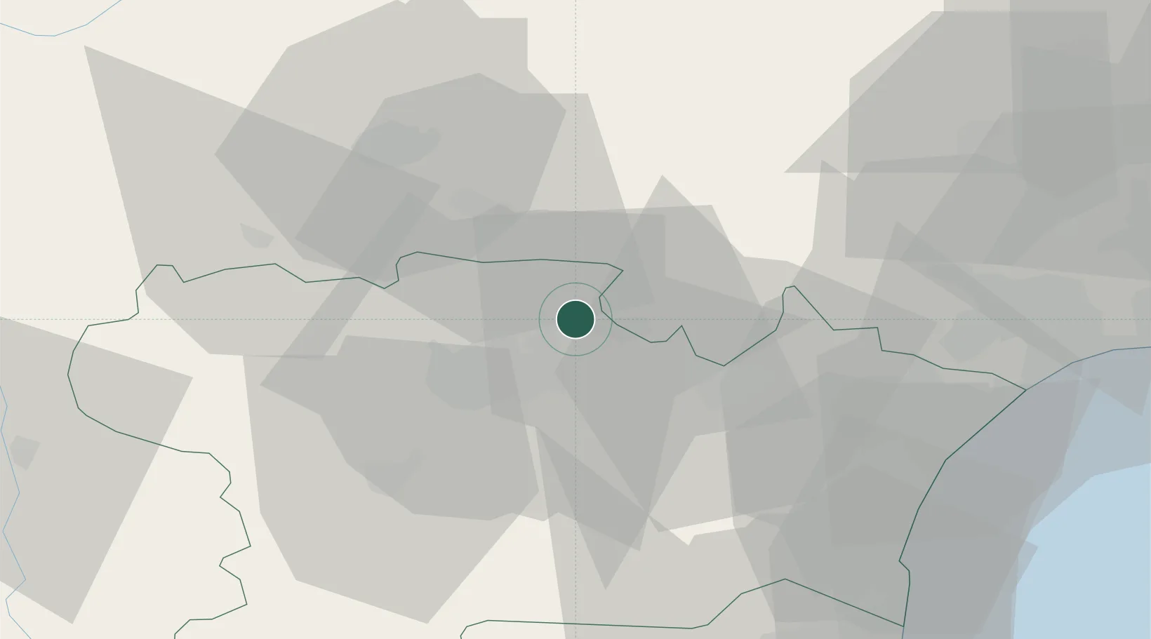
Location
Nearby Logistics Neighbours
Cities
- 1Trausse4 km
- 2Villeneuve-Minervois4 km
- 3Peyriac-Minervois6 km
- 4Félines-Minervois7 km
- 5Sallèles-Cabardès7 km
Ports
- 1Port-La-Nouvelle57 km
- 2Sete96 km
- 3Port-Vendres103 km
- 4Rosas131 km
- 5Palamos174 km
Airports
Trade Zones
- 1ZFU Béziers57 km
- 2ZFU Perpignan77 km
- 3ZFU Toulouse92 km
- 4ZFU Montpellier112 km
- 5ZFU Nîmes157 km
DatabookThe Record of Consolidated Knowledge
France beyond logistics?