Transport Functions
Multimodal
Hub Profile
Place type
Populated place
Region
Occitanie
Population
113
Time zone
Europe/Paris
Elevation
263 m
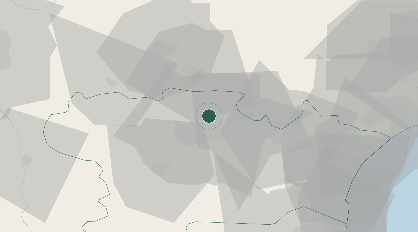
Location
Nearby Logistics Neighbours
Cities
- 1Villeneuve-Minervois3 km
- 2Villegly4 km
- 3Bagnoles6 km
- 4Caunes-Minervois7 km
- 5Villegailhenc8 km
Ports
- 1Port-La-Nouvelle61 km
- 2Sete103 km
- 3Port-Vendres105 km
- 4Rosas132 km
- 5Palamos174 km
Airports
Trade Zones
- 1ZFU Béziers63 km
- 2ZFU Perpignan78 km
- 3ZFU Toulouse86 km
- 4ZFU Montpellier118 km
- 5ZFU Nîmes164 km
DatabookThe Record of Consolidated Knowledge
France beyond logistics?