Transport Functions
Rail
Road
Multimodal
Hub Profile
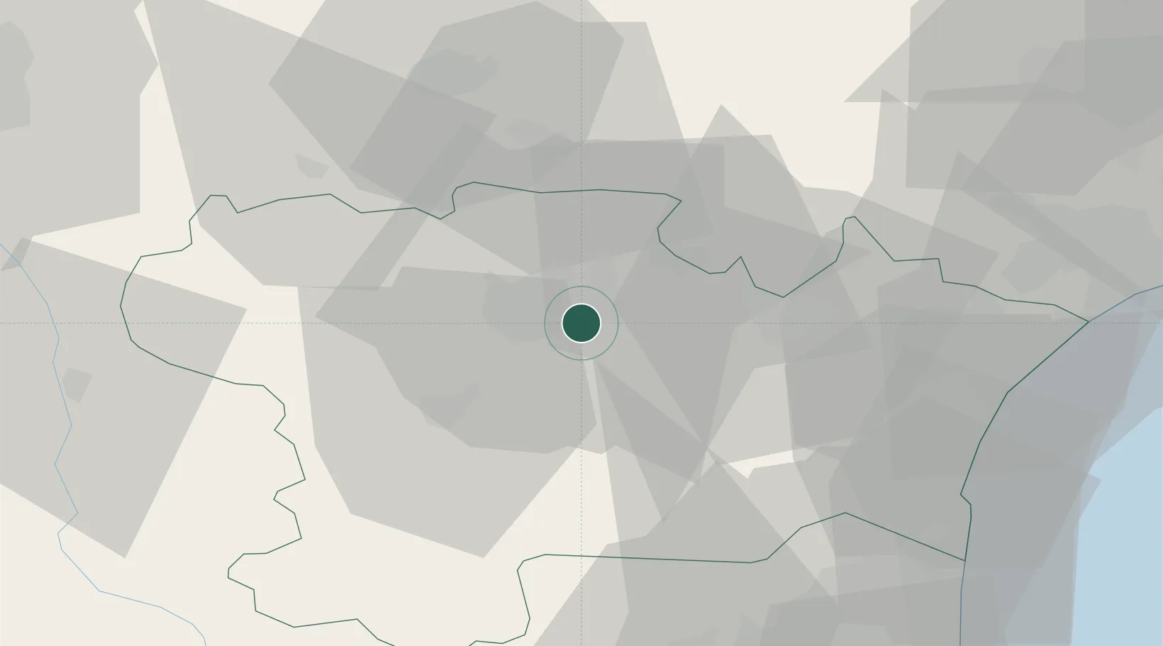
Place type
Populated place
Region
Occitanie
Population
5,972
Time zone
Europe/Paris
Elevation
91 m
Location
Nearby Logistics Neighbours
Cities
- 1Fontiès-d'Aude4 km
- 2Rustiques4 km
- 3Floure6 km
- 4Bagnoles6 km
- 5Villemoustaussou7 km
Ports
- 1Port-La-Nouvelle56 km
- 2Port-Vendres96 km
- 3Sete105 km
- 4Rosas122 km
- 5Palamos164 km
Airports
Trade Zones
- 1ZFU Béziers65 km
- 2ZFU Perpignan69 km
- 3ZFU Toulouse91 km
- 4ZFU Montpellier122 km
- 5ZFU Nîmes168 km
DatabookThe Record of Consolidated Knowledge
France beyond logistics?