UN/LOCODE hub · France
FRVI9

Villegailhenc

43.2667°, 2.3667°
1,517
Population
2
Transport functions

Transport Functions

Road
Multimodal
UN/LOCODE

Hub Profile

Place type
Populated place
GeoNames
Region
Occitanie
GeoNames
Population
1,517
GeoNames
Time zone
Europe/Paris
GeoNames
Elevation
128 m
GeoNames

Location

Location of FRVI9
Natural Earth 10m (public domain) · Occitanie · FRVI9 · 43.27, 2.37GoogleOSMYandex

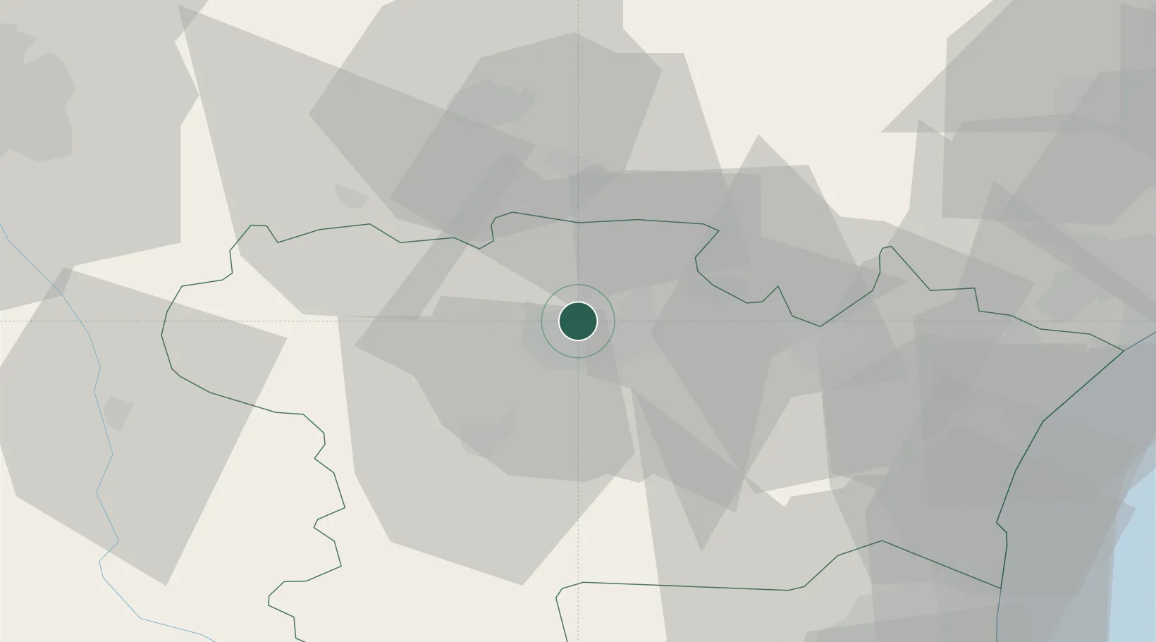
Nearby Logistics Neighbours

Cities
  1. 1Villemoustaussou2 km
  2. 2Bagnoles5 km
  3. 3Aragon6 km
  4. 4Carcassonne6 km
  5. 5Ventenac-Cabardès7 km
Nearest neighbours — logibook spatial index (haversine) over the source coordinates
Ports
  1. 1Port-La-Nouvelle63 km
  2. 2Port-Vendres103 km
  3. 3Sete109 km
  4. 4Rosas130 km
  5. 5Palamos171 km
Nearest neighbours — logibook spatial index (haversine) over the source coordinates
Airports
  1. 1Carcassonne Salvaza Airport8 km
  2. 2Castres Mazamet Airport33 km
  3. 3Perpignan-Rivesaltes (Llabanère) Airport71 km
  4. 4Albi Le Sequestre airport75 km
  5. 5Béziers Vias airport80 km
Nearest neighbours — logibook spatial index (haversine) over the source coordinates
Trade Zones
  1. 1ZFU Béziers69 km
  2. 2ZFU Perpignan76 km
  3. 3ZFU Toulouse84 km
  4. 4ZFU Montpellier125 km
  5. 5ZFU Nîmes171 km
Nearest neighbours — logibook spatial index (haversine) over the source coordinates
DatabookThe Record of Consolidated Knowledge
France beyond logistics?
Browse databook

All Sources

LocationsUN/LOCODE
UN/LOCODE — free
LocationsGeoNames
CC BY 4.0
Portsthe NGA World Port Index
Public domain (US gov)
AirportsOurAirports
Public domain
Trade Zonesthe World Bank SEZ database
CC BY 4.0
Trade ZonesOpen Zone Map
CC BY
← France locations