Economic Revitalization Project · France

ZFU Garges-lès-Gonesse et Sarcelles Active
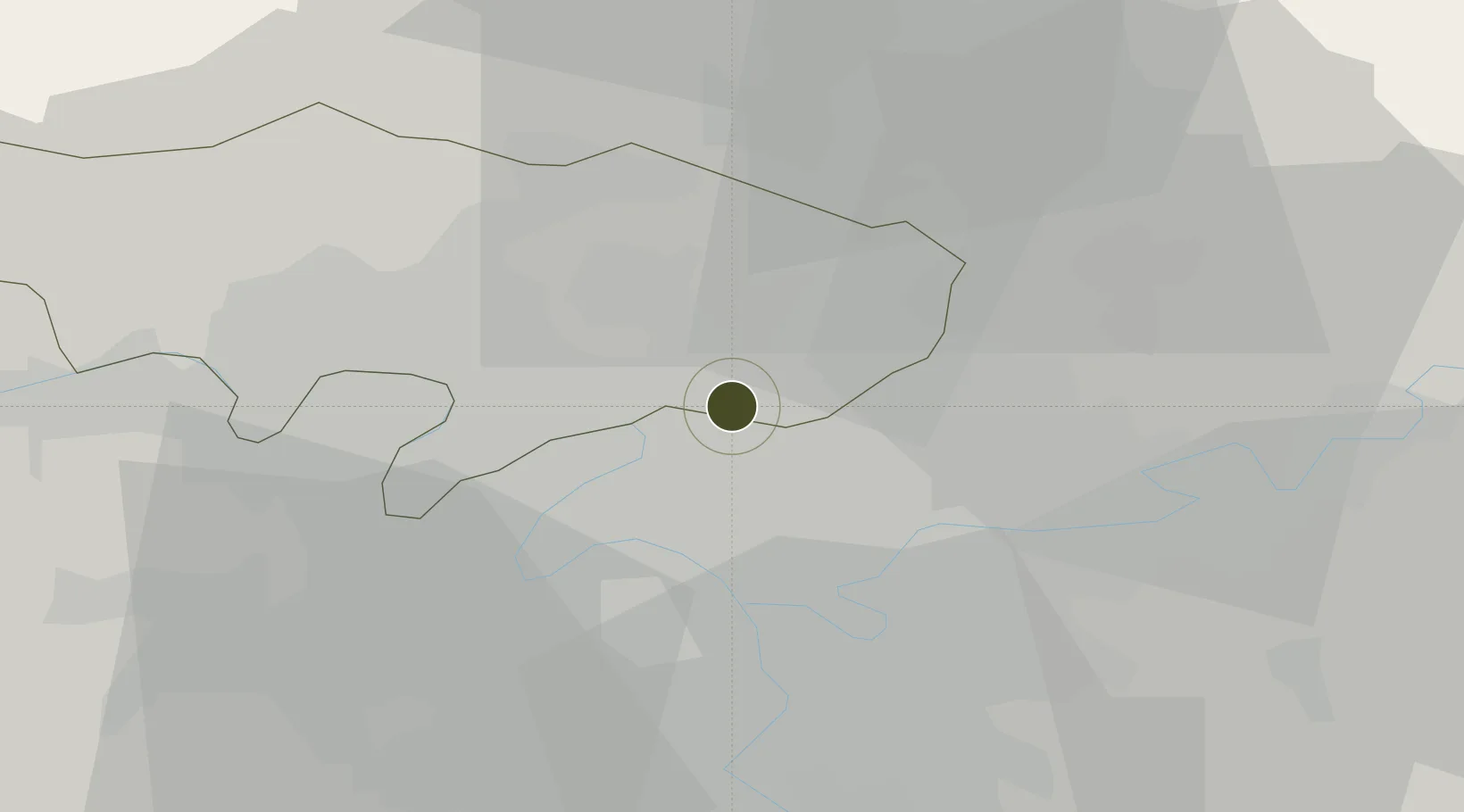
48.9717°, 2.3985°
380 ha
Zone area
110.4 km
Nearest port
3.0 km
Nearest airport

Gateway access

Nearest neighbours — logibook spatial index (haversine) over the source coordinates

Zone profile

Zone type
Economic Revitalization Project
Open Zone Map
Region
Val-d'Oise
Open Zone Map
Status
Active
Open Zone Map
Management
Public
Open Zone Map
Operator
Mairie de Garges-lès-Gonesse
Open Zone Map
Legal framework
Décret no 65-939 du 8 novembre 1965, Décret du 9 Octobre 2008
Open Zone Map

Location

Location of ozm-2015
Natural Earth 10m (public domain) · Val-d'Oise · ozm-2015 · 48.97, 2.40GoogleOSMYandex

Nearby Logistics Neighbours

Ports
  1. 1Port Of Rouen110 km
  2. 2Le Treport143 km
  3. 3Dieppe143 km
  4. 4Saint-Valery-Sur-Somme146 km
  5. 5Honfleur166 km
Nearest neighbours — logibook spatial index (haversine) over the source coordinates
Airports
  1. 1Paris-Le Bourget International Airport3 km
  2. 2Charles de Gaulle International Airport12 km
  3. 3Vélizy-Villacoublay Air Base26 km
  4. 4Paris-Orly Airport28 km
  5. 5Pontoise-Cormeilles Aerodrome30 km
Nearest neighbours — logibook spatial index (haversine) over the source coordinates
Cities
  1. 1Garges-lès-Gonesse1 km
  2. 2Arnouville2 km
  3. 3Bonneuil-en-France3 km
  4. 4Le Bourget Apt/Paris4 km
  5. 5Le Blanc-Mesnil6 km
Nearest neighbours — logibook spatial index (haversine) over the source coordinates
Trade Zones
  1. 1ZFU Stains2 km
  2. 2ZFU Villiers-le-Bel4 km
  3. 3ZFU Aulnay-sous-Bois5 km
  4. 4ZFU Le Blanc-Mesnil, Dugny6 km
  5. 5ZFU La Courneuve6 km
Nearest neighbours — logibook spatial index (haversine) over the source coordinates
DatabookThe Record of Consolidated Knowledge
France beyond logistics?
Browse databook

All Sources

Trade ZonesOpen Zone Map
CC BY
Portsthe NGA World Port Index
Public domain (US gov)
AirportsOurAirports
Public domain
LocationsUN/LOCODE
UN/LOCODE — free
← France trade zones