Transport Functions
Multimodal
Hub Profile
Place type
Populated place
Region
Hauts-de-France
Population
2,840
Time zone
Europe/Paris
Elevation
84 m
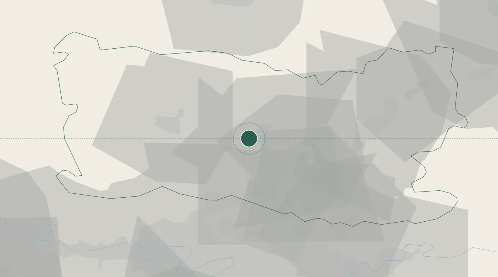
Location
Nearby Logistics Neighbours
Cities
- 1Clermont2 km
- 2Breuil-le-Sec5 km
- 3Cauffry9 km
- 4Berthecourt11 km
- 5Monchy-Saint-Éloi11 km
Ports
- 1Port Of Rouen96 km
- 2Saint-Valery-Sur-Somme105 km
- 3Le Treport105 km
- 4Dieppe112 km
- 5Fecamp152 km
Airports
Trade Zones
- 1ZFU Creil et Montataire14 km
- 2ZFU Beauvais25 km
- 3ZFU Villiers-le-Bel42 km
- 4ZFU Garges-lès-Gonesse et Sarcelles46 km
- 5ZFU Stains48 km
DatabookThe Record of Consolidated Knowledge
France beyond logistics?