Transport Functions
Port
Hub Profile
Place type
Populated place
Region
Brittany
Time zone
Europe/Paris
Elevation
6 m
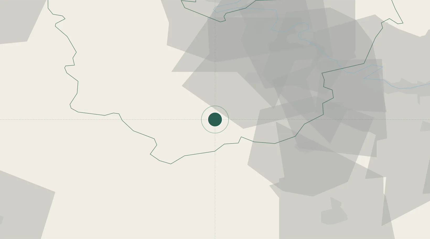
Location
Nearby Logistics Neighbours
Cities
- 1Condé-sur-Iton3 km
- 2Bourth16 km
- 3La Madeleine-de-Nonancourt17 km
- 4Troisgots19 km
- 5La Neuve-Lyre20 km
Ports
- 1Port Of Rouen67 km
- 2Honfleur85 km
- 3Deauville88 km
- 4Port Of Le Havre95 km
- 5Ouistreham103 km
Airports
Trade Zones
- 1ZFU Évreux22 km
- 2ZFU Dreux et Sainte-Gemme-Moronval30 km
- 3ZFU Mantes-la-Jolie54 km
- 4ZFU Les Mureaux67 km
- 5ZFU Rouen Bihorel69 km
DatabookThe Record of Consolidated Knowledge
France beyond logistics?