UN/LOCODE hub · France
FRV83
Méounes-lès-Montrieux
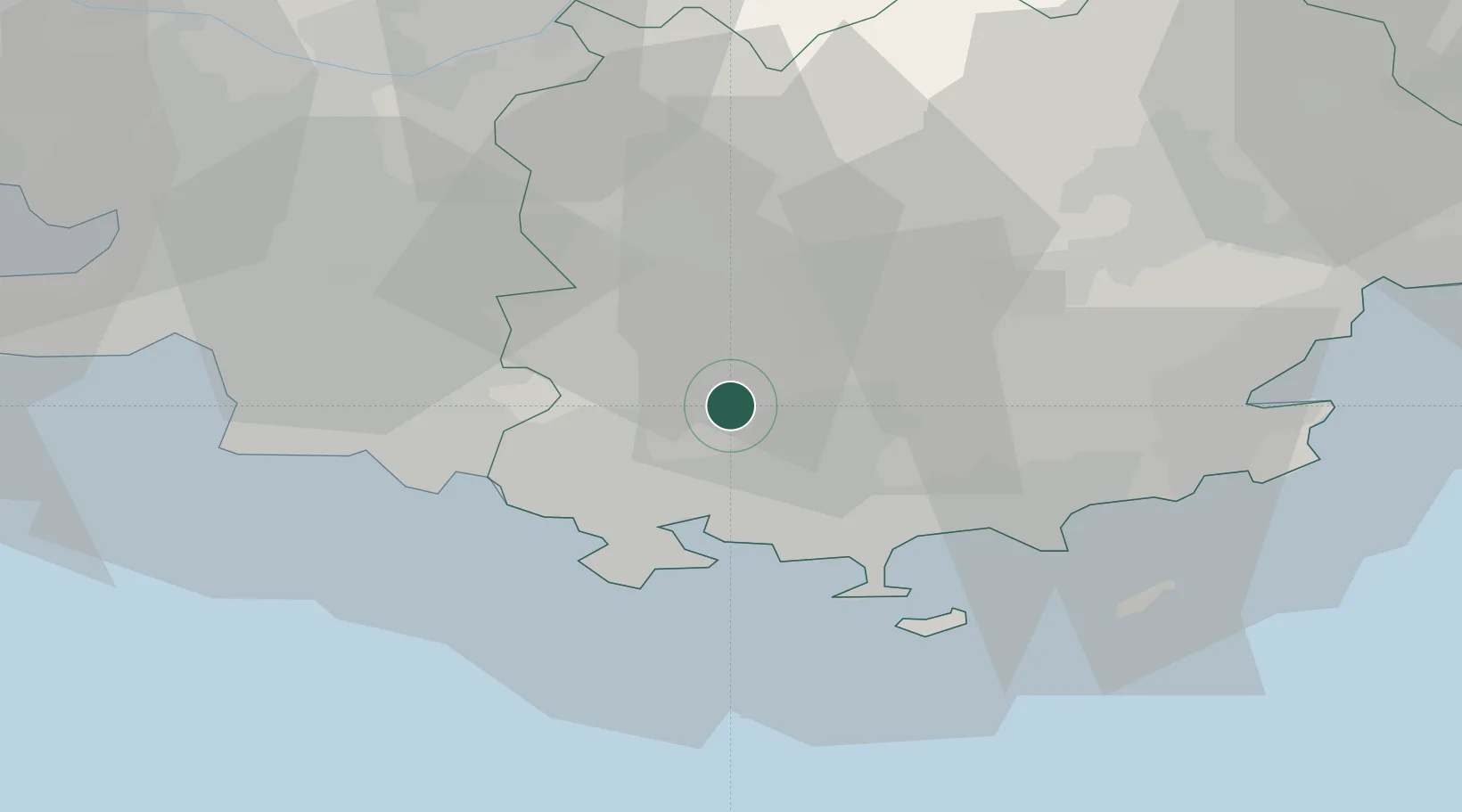
43.2667°, 5.9667°
1,353
Population
1
Transport functions
Transport Functions
Multimodal
Hub Profile
Place type
Populated place
Region
Provence-Alpes-Côte d'Azur
Population
1,353
Time zone
Europe/Paris
Elevation
280 m
Location
Nearby Logistics Neighbours
Cities
- 1Néoules6 km
- 2Rocbaron10 km
- 3Solliès-Pont12 km
- 4La Farlède12 km
- 5Puget-Ville14 km
Ports
- 1Toulon19 km
- 2Marseille49 km
- 3Saint-Tropez54 km
- 4Saint-Raphael67 km
- 5Port-de-Bouc81 km
Airports
- 1Le Castellet Airport15 km
- 2Toulon-Hyères Airport24 km
- 3Le Luc-Le Cannet Airfield37 km
- 4La Môle Airport42 km
- 5Marseille Provence Airport64 km
Trade Zones
- 1ZFU Toulon16 km
- 2ZFU La Seyne-sur-Mer23 km
- 3ZFU Marseille 15e et 16e49 km
- 4ZFU Saint-Barthélémy, Le Canet, Delorme-Paternelle59 km
- 5ZFU LAriane119 km
DatabookThe Record of Consolidated Knowledge
France beyond logistics?