Medium airport · France
Le Luc-Le Cannet AirfieldLFMC
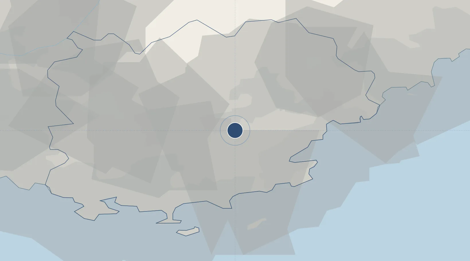
43.3847°, 6.3871°
4,593 ft
Longest runway
2
Runways
265 ft
Elevation
Runway & Layout

Radio Frequencies
ATIS
128.65 MHz
TWR
123 MHz
LE LUC TWR
GND
121.85 MHz
APP
122.2 MHz
LE LUC APP
Navaids
LU NDB Le Luc 378 kHz
LUC VOR-DME Le Luc 113.00 MHz
Runways · 2
| Runway | Dimensions | Surface | True heading | Lit |
|---|---|---|---|---|
| 13/31 | 4,593 × 98ft | Asphalt | 130° | ✓ |
| 09/27 | 2,625 × 98ft | Asphalt | 088° | ✓ |
Airport Specifications
ICAO code
LFMC
Airport class
Medium airport
Scheduled service
No
Runway surface
Asphalt
Served city
Le Cannet-des-Maures, Var
Location
Nearby Logistics Neighbours
Airports
- 1La Môle Airport21 km
- 2Toulon-Hyères Airport38 km
- 3Cannes Mandelieu Airport49 km
- 4Le Castellet Airport51 km
- 5Cannes Croisette Heliport55 km
Cities
- 1Le Cannet-des-Maures3 km
- 2Vidauban7 km
- 3Les Mayons8 km
- 4Taradeau8 km
- 5Le Thoronet10 km
Ports
- 1Saint-Tropez24 km
- 2Saint-Raphael31 km
- 3Toulon50 km
- 4Cannes54 km
- 5Antibes64 km
Trade Zones
- 1ZFU Toulon47 km
- 2ZFU La Seyne-sur-Mer55 km
- 3ZFU LAriane83 km
- 4ZFU Marseille 15e et 16e83 km
- 5ZFU Saint-Barthélémy, Le Canet, Delorme-Paternelle94 km
DatabookThe Record of Consolidated Knowledge
France beyond logistics?