Medium airport · France
Toulon-Hyères AirportLFTH
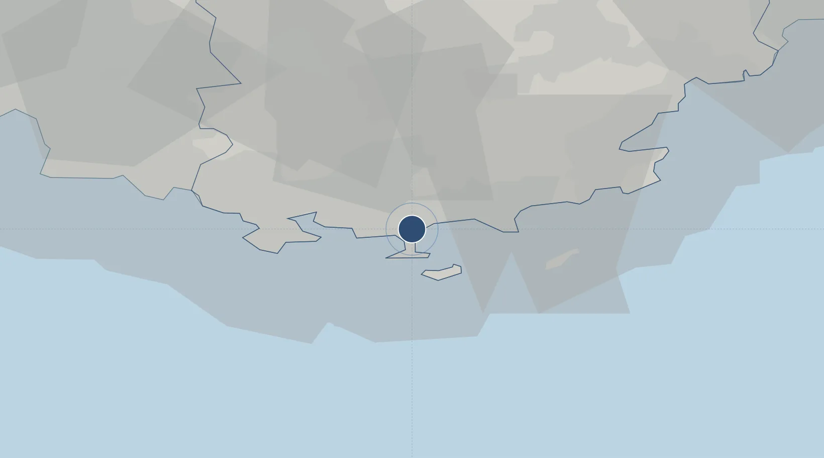
43.0973°, 6.1460°
6,955 ft
Longest runway
2
Runways
7 ft
Elevation
Runway & Layout

Radio Frequencies
ATIS
129.65 MHz
HYERES ATIS
TWR
121 MHz
HYERES TWR
GND
121.8 MHz
HYERES GND
APP
118.825 MHz
TOULON APP
ARSA
36.255 MHz
HYERES RDR
Navaids
HYE TACAN Hyeres 109.00 MHz
TLN NDB Hyeres 322 kHz
Runways · 2
| Runway | Dimensions | Surface | True heading | Lit |
|---|---|---|---|---|
| 05/23 | 6,955 × 148ft | Asphalt | 051° | ✓ |
| 13/31 | 6,240 × 164ft | Asphalt | 135° | ✓ |
Airport Specifications
IATA code
TLN
ICAO code
LFTH
Airport class
Medium airport
Scheduled service
Yes
Runway surface
Asphalt
Served city
Hyères, Var
Location
Nearby Logistics Neighbours
Airports
- 1La Môle Airport30 km
- 2Le Castellet Airport34 km
- 3Le Luc-Le Cannet Airfield38 km
- 4Cannes Mandelieu Airport82 km
- 5Marseille Provence Airport85 km
Cities
- 1Hyères3 km
- 2La Moutonne7 km
- 3La Crau9 km
- 4Le Pradet11 km
- 5Eteaux12 km
Ports
- 1Toulon19 km
- 2Saint-Tropez44 km
- 3Saint-Raphael62 km
- 4Marseille68 km
- 5Cannes87 km
Trade Zones
- 1ZFU Toulon17 km
- 2ZFU La Seyne-sur-Mer25 km
- 3ZFU Marseille 15e et 16e69 km
- 4ZFU Saint-Barthélémy, Le Canet, Delorme-Paternelle76 km
- 5ZFU LAriane117 km
DatabookThe Record of Consolidated Knowledge
France beyond logistics?