Transport Functions
Multimodal
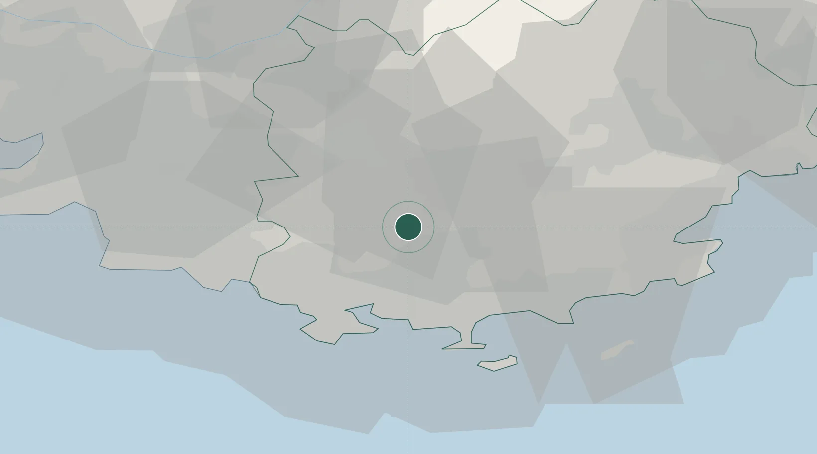
Hub Profile
Place type
Populated place
Region
Provence-Alpes-Côte d'Azur
Population
1,753
Time zone
Europe/Paris
Elevation
330 m
Location
Nearby Logistics Neighbours
Cities
- 1Rocbaron5 km
- 2Méounes-lès-Montrieux6 km
- 3Puget-Ville10 km
- 4La Celle11 km
- 5Solliès-Pont13 km
Ports
- 1Toulon24 km
- 2Saint-Tropez50 km
- 3Marseille53 km
- 4Saint-Raphael62 km
- 5Port-de-Bouc84 km
Airports
- 1Le Castellet Airport20 km
- 2Toulon-Hyères Airport25 km
- 3Le Luc-Le Cannet Airfield31 km
- 4La Môle Airport39 km
- 5Marseille Provence Airport67 km
Trade Zones
- 1ZFU Toulon21 km
- 2ZFU La Seyne-sur-Mer28 km
- 3ZFU Marseille 15e et 16e53 km
- 4ZFU Saint-Barthélémy, Le Canet, Delorme-Paternelle63 km
- 5ZFU LAriane114 km
DatabookThe Record of Consolidated Knowledge
France beyond logistics?