Transport Functions
Rail
Road
Hub Profile
Place type
Populated place
Region
Provence-Alpes-Côte d'Azur
Population
6,918
Time zone
Europe/Paris
Elevation
80 m
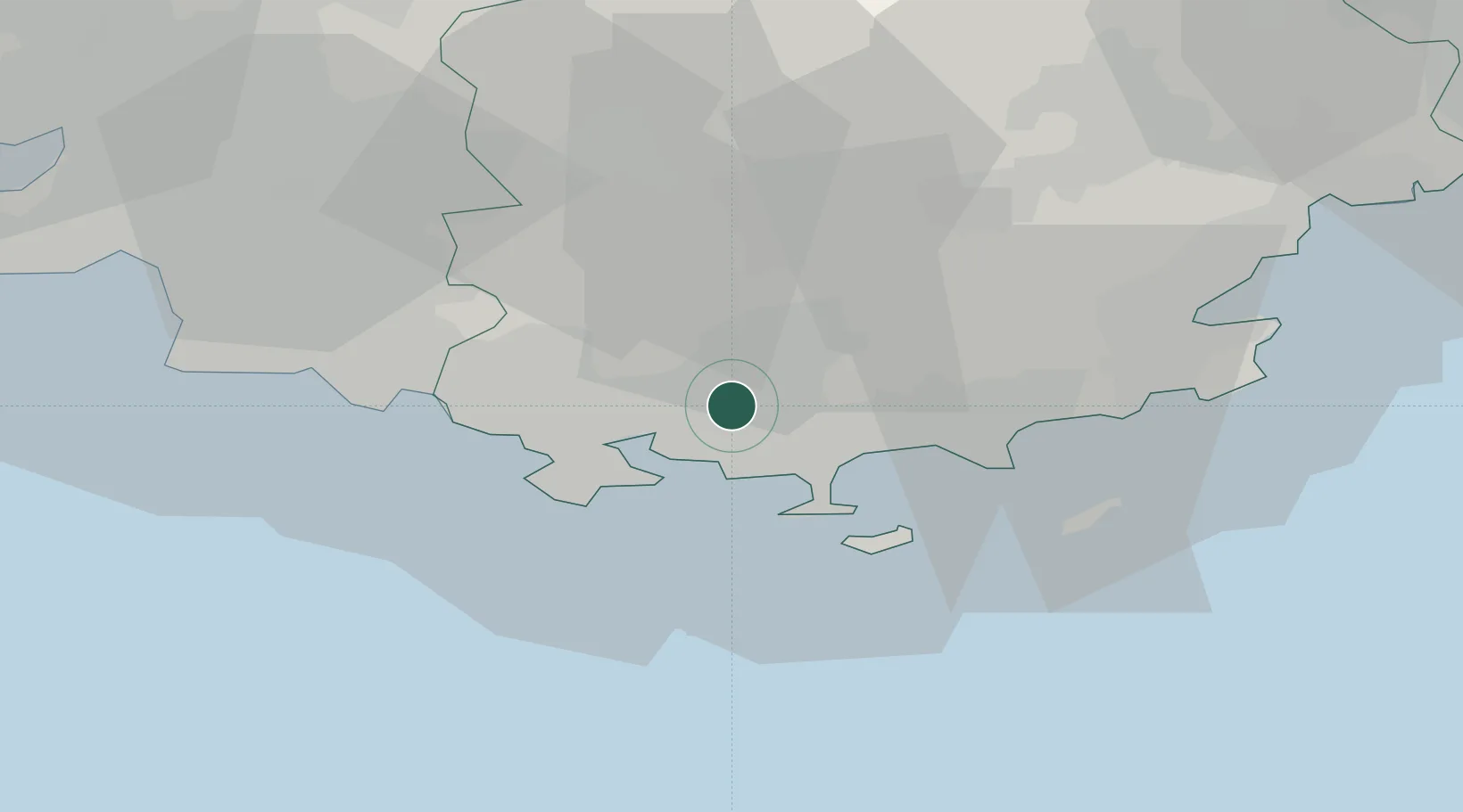
Location
Nearby Logistics Neighbours
Cities
- 1Solliès-Pont2 km
- 2La Crau3 km
- 3La Moutonne6 km
- 4Le Pradet8 km
- 5Hyères9 km
Ports
- 1Toulon12 km
- 2Saint-Tropez50 km
- 3Marseille57 km
- 4Saint-Raphael66 km
- 5Port-de-Bouc89 km
Airports
- 1Toulon-Hyères Airport12 km
- 2Le Castellet Airport22 km
- 3La Môle Airport37 km
- 4Le Luc-Le Cannet Airfield38 km
- 5Marseille Provence Airport73 km
Trade Zones
- 1ZFU Toulon9 km
- 2ZFU La Seyne-sur-Mer18 km
- 3ZFU Marseille 15e et 16e57 km
- 4ZFU Saint-Barthélémy, Le Canet, Delorme-Paternelle66 km
- 5ZFU LAriane120 km
DatabookThe Record of Consolidated Knowledge
France beyond logistics?