Transport Functions
Road
Multimodal
Hub Profile
Place type
Populated place
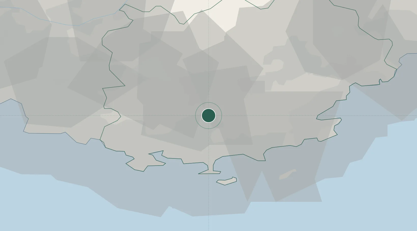
Region
Provence-Alpes-Côte d'Azur
Population
3,330
Time zone
Europe/Paris
Elevation
194 m
Location
Nearby Logistics Neighbours
Ports
- 1Toulon27 km
- 2Saint-Tropez41 km
- 3Saint-Raphael53 km
- 4Marseille62 km
- 5Cannes77 km
Airports
- 1Toulon-Hyères Airport21 km
- 2Le Luc-Le Cannet Airfield23 km
- 3Le Castellet Airport28 km
- 4La Môle Airport30 km
- 5Cannes Mandelieu Airport73 km
Trade Zones
- 1ZFU Toulon24 km
- 2ZFU La Seyne-sur-Mer32 km
- 3ZFU Marseille 15e et 16e62 km
- 4ZFU Saint-Barthélémy, Le Canet, Delorme-Paternelle72 km
- 5ZFU LAriane106 km
DatabookThe Record of Consolidated Knowledge
France beyond logistics?