Large airport · France
Marseille Provence AirportLFML
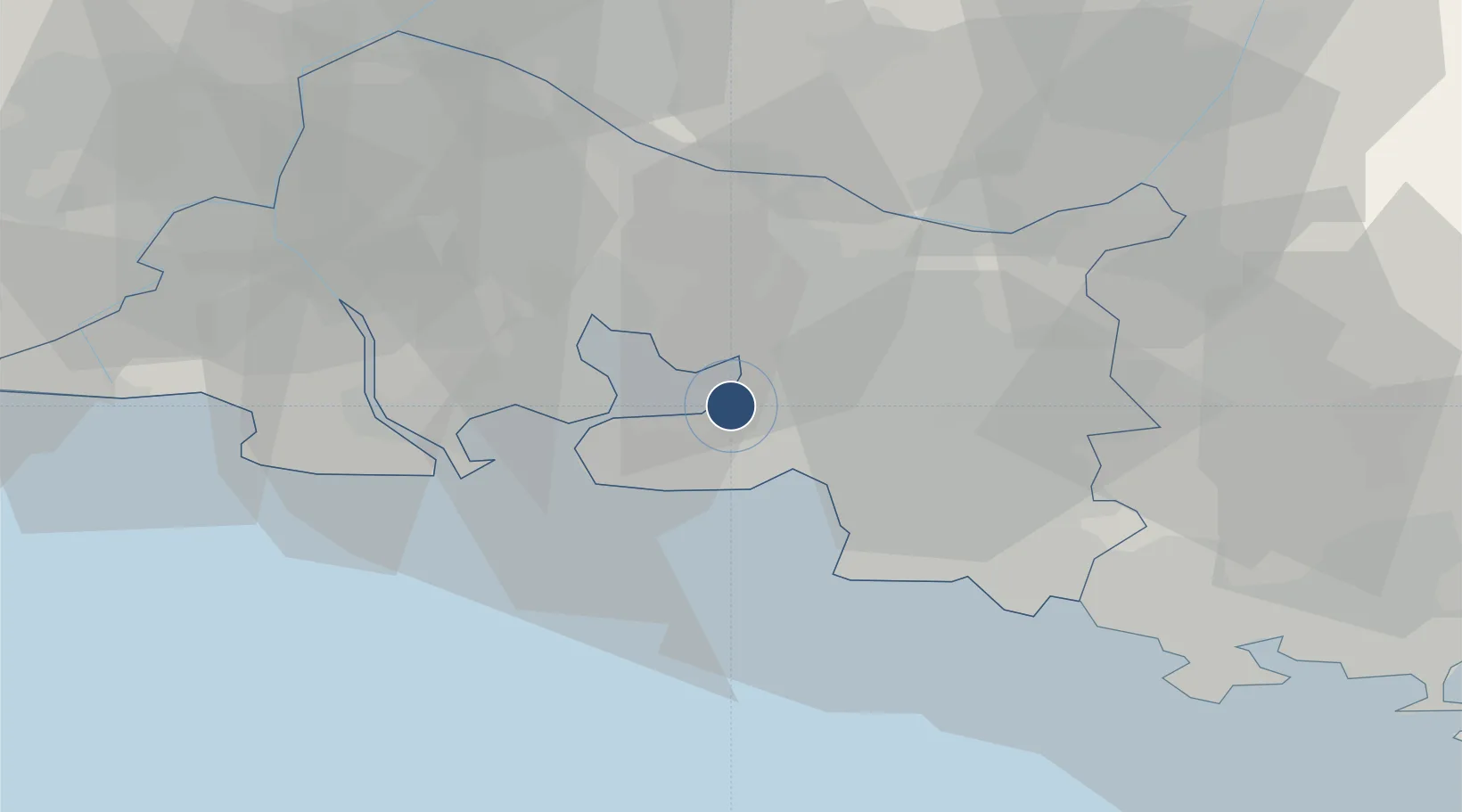
43.4381°, 5.2125°
11,483 ft
Longest runway
2
Runways
74 ft
Elevation
Runway & Layout

Radio Frequencies
ATIS
125.35 MHz
TWR
118.375 MHz
GND
121.9 MHz
APP
120.2 MHz
APP/RADAR
INFO
118.85 MHz
PFLT
121.725 MHz
PERFLIGHT
Navaids
MRM VOR-DME Marseille/Provence 108.80 MHz
Runways · 2
| Runway | Dimensions | Surface | True heading | Lit |
|---|---|---|---|---|
| 13L/31R | 11,483 × 148ft | Asphalt | 134° | ✓ |
| 13R/31L | 7,776 × 148ft | Asphalt | 134° | ✓ |
Airport Specifications
IATA code
MRS
ICAO code
LFML
Airport class
Large airport
Scheduled service
Yes
Runway surface
Asphalt
Served city
Marignane, Bouches-du-Rhône
Location
Nearby Logistics Neighbours
Airports
Cities
- 1Gignac-la-Nerthe5 km
- 2Berre-l'Étang5 km
- 3Rognac5 km
- 4Le Rove7 km
- 5la Mède9 km
Ports
- 1Marseille18 km
- 2Port-de-Bouc19 km
- 3Fos27 km
- 4Port Saint Louis Du Rhone33 km
- 5Toulon68 km
Trade Zones
- 1ZFU Marseille 15e et 16e17 km
- 2ZFU Saint-Barthélémy, Le Canet, Delorme-Paternelle18 km
- 3ZFU La Seyne-sur-Mer65 km
- 4ZFU Avignon66 km
- 5ZFU Toulon69 km
DatabookThe Record of Consolidated Knowledge
France beyond logistics?