Transport Functions
Multimodal
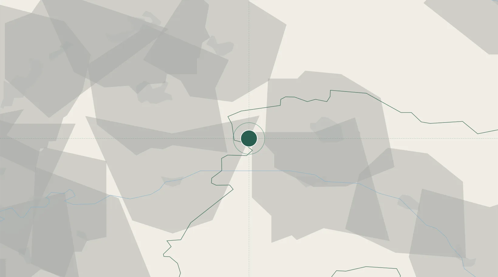
Hub Profile
Place type
Populated place
Region
Grand Est
Population
84
Time zone
Europe/Paris
Elevation
110 m
Location
Nearby Logistics Neighbours
Cities
- 1Lagery1 km
- 2Serzy-et-Prin4 km
- 3Faverolles-et-Coëmy5 km
- 4Sarcy6 km
- 5Olizy-et-Violaine8 km
Ports
- 1Saint-Valery-Sur-Somme186 km
- 2Bruxelles189 km
- 3Le Treport195 km
- 4Port Of Rouen195 km
- 5Ghent206 km
Airports
Trade Zones
- 1ZFU Reims19 km
- 2ZFU Presles, Chevreux36 km
- 3ZFU Meaux68 km
- 4ZFU Le Vermandois Vermand, Fayet, Artois, Champagne80 km
- 5ZFU Ronde Couture92 km
DatabookThe Record of Consolidated Knowledge
France beyond logistics?