UN/LOCODE hub · France
FRFEM
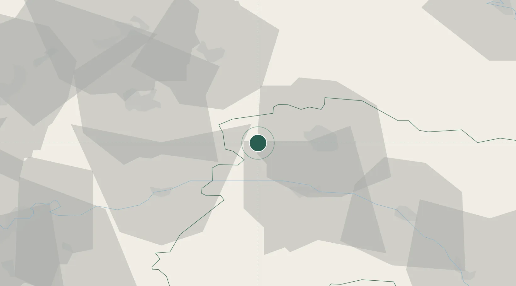
Faverolles-et-Coëmy
49.2333°, 3.8000°
463
Population
1
Transport functions
Transport Functions
Multimodal
Hub Profile
Place type
Populated place
Region
Grand Est
Population
463
Time zone
Europe/Paris
Elevation
102 m
Location
Nearby Logistics Neighbours
Cities
- 1Serzy-et-Prin3 km
- 2Sarcy4 km
- 3Lagery4 km
- 4Germigny5 km
- 5Brouillet5 km
Ports
- 1Bruxelles186 km
- 2Saint-Valery-Sur-Somme189 km
- 3Le Treport198 km
- 4Port Of Rouen200 km
- 5Ghent204 km
Airports
Trade Zones
- 1ZFU Reims14 km
- 2ZFU Presles, Chevreux39 km
- 3ZFU Meaux73 km
- 4ZFU Le Vermandois Vermand, Fayet, Artois, Champagne81 km
- 5ZFU Ronde Couture88 km
DatabookThe Record of Consolidated Knowledge
France beyond logistics?