Transport Functions
Multimodal
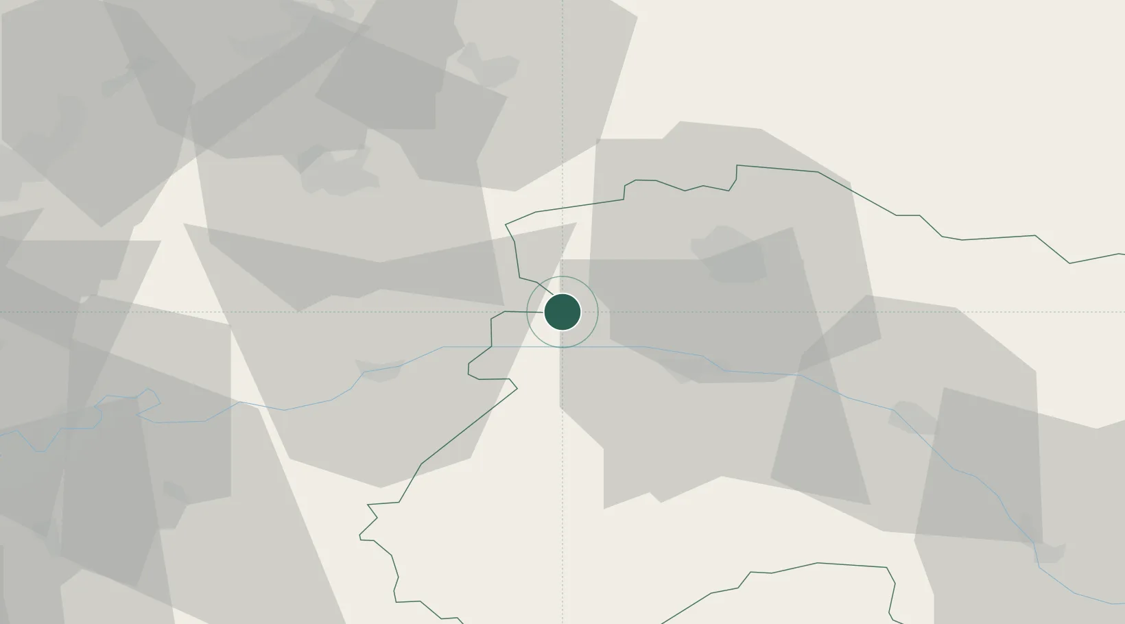
Hub Profile
Region
51
Location
Nearby Logistics Neighbours
Cities
- 1Cuchery5 km
- 2Baslieux-sous-Châtillon5 km
- 3Vandières6 km
- 4Vandières-sous-Chatillon6 km
- 5La Neuville-aux-Larris6 km
Ports
- 1Saint-Valery-Sur-Somme192 km
- 2Bruxelles196 km
- 3Port Of Rouen197 km
- 4Le Treport200 km
- 5Dieppe211 km
Airports
Trade Zones
DatabookThe Record of Consolidated Knowledge
France beyond logistics?