Transport Functions
Multimodal
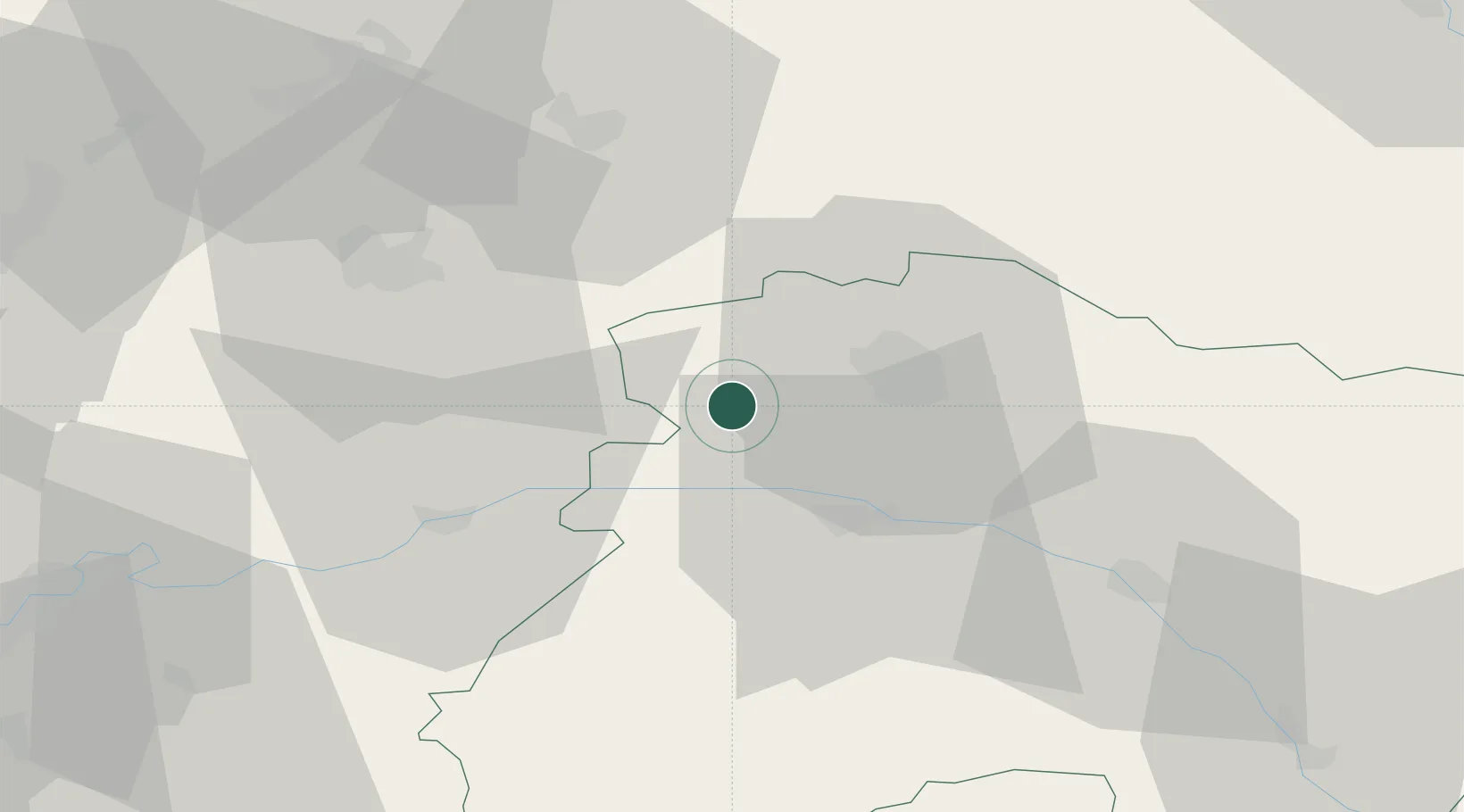
Hub Profile
Place type
Populated place
Region
Grand Est
Population
240
Time zone
Europe/Paris
Elevation
102 m
Location
Nearby Logistics Neighbours
Cities
- 1Faverolles-et-Coëmy4 km
- 2Saint-Euphraise-Et-Clairizet5 km
- 3Lagery5 km
- 4La Neuville-aux-Larris6 km
- 5Champlat-et-Boujacourt6 km
Ports
- 1Bruxelles189 km
- 2Saint-Valery-Sur-Somme192 km
- 3Le Treport201 km
- 4Port Of Rouen201 km
- 5Ghent208 km
Airports
Trade Zones
- 1ZFU Reims14 km
- 2ZFU Presles, Chevreux42 km
- 3ZFU Meaux73 km
- 4ZFU Le Vermandois Vermand, Fayet, Artois, Champagne84 km
- 5ZFU Ronde Couture89 km
DatabookThe Record of Consolidated Knowledge
France beyond logistics?