Transport Functions
Multimodal
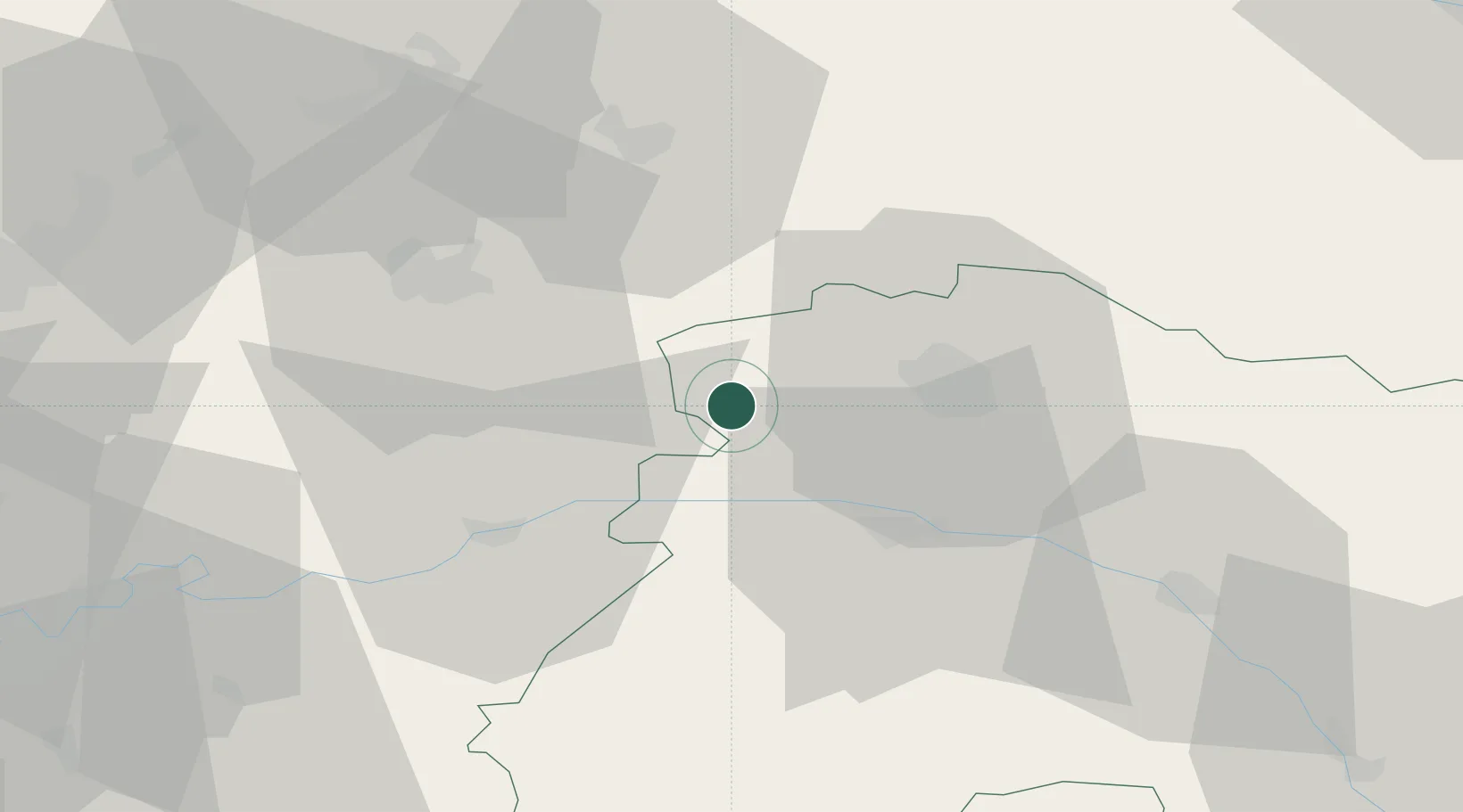
Hub Profile
Place type
Populated place
Region
Grand Est
Population
164
Time zone
Europe/Paris
Elevation
162 m
Location
Nearby Logistics Neighbours
Cities
- 1Brouillet1 km
- 2Serzy-et-Prin4 km
- 3Faverolles-et-Coëmy4 km
- 4Sarcy5 km
- 5Olizy-et-Violaine7 km
Ports
- 1Saint-Valery-Sur-Somme187 km
- 2Bruxelles188 km
- 3Le Treport196 km
- 4Port Of Rouen196 km
- 5Ghent206 km
Airports
Trade Zones
- 1ZFU Reims18 km
- 2ZFU Presles, Chevreux37 km
- 3ZFU Meaux69 km
- 4ZFU Le Vermandois Vermand, Fayet, Artois, Champagne80 km
- 5ZFU Ronde Couture91 km
DatabookThe Record of Consolidated Knowledge
France beyond logistics?