Transport Functions
Road
Multimodal
Hub Profile
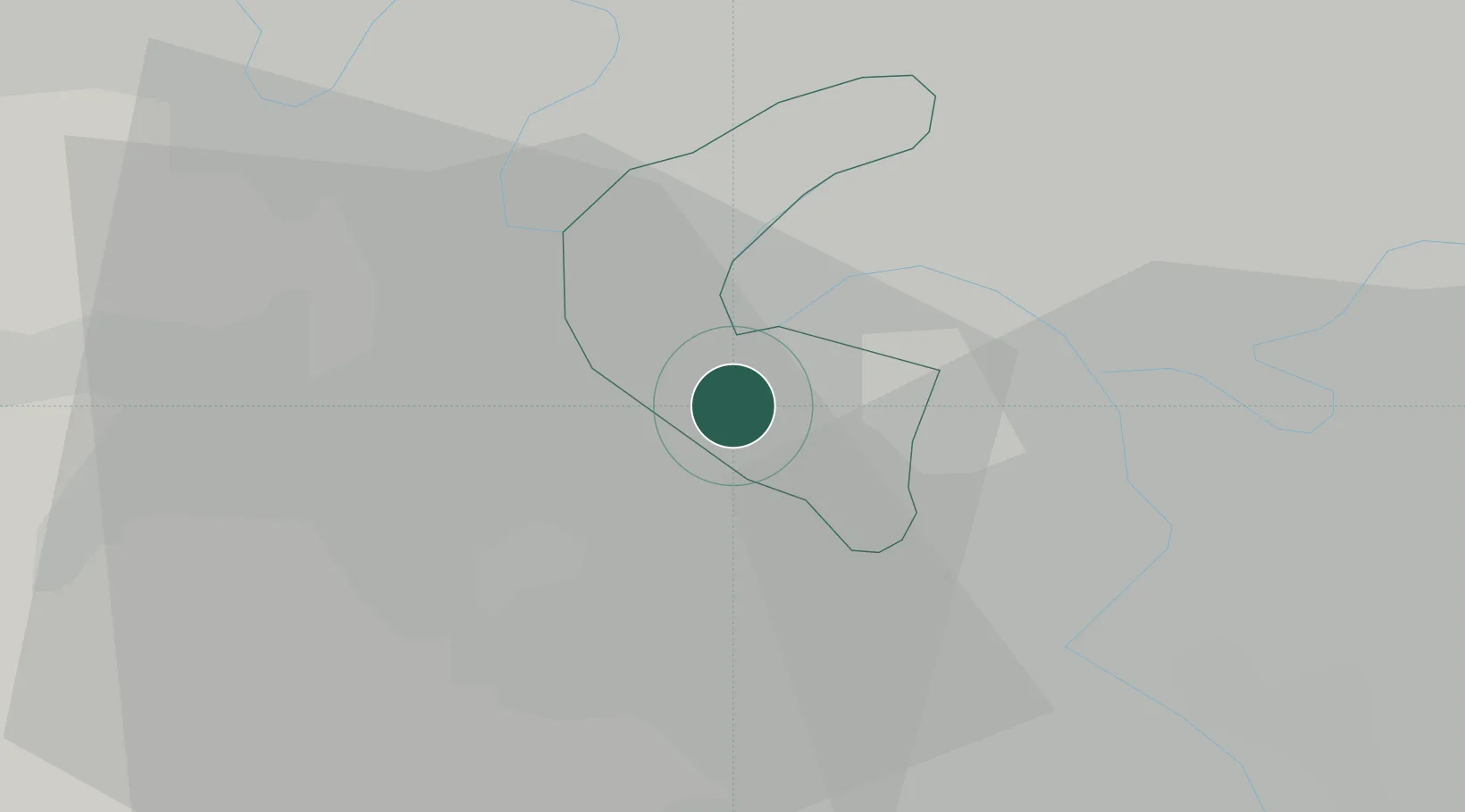
Place type
Populated place
Region
Île-de-France
Population
44,652
Time zone
Europe/Paris
Elevation
111 m
Location
Nearby Logistics Neighbours
Cities
- 1Le Plessis-Robinson3 km
- 2Vélizy-Villacoublay4 km
- 3Boulogne-Billancourt4 km
- 4Viroflay5 km
- 5Bagneux5 km
Ports
- 1Port Of Rouen112 km
- 2Dieppe151 km
- 3Le Treport154 km
- 4Saint-Valery-Sur-Somme160 km
- 5Honfleur162 km
Airports
Trade Zones
- 1ZFU Vitry-sur-Seine11 km
- 2ZFU Choisy-le-Roi et Orly14 km
- 3ZFU Sartrouville16 km
- 4ZFU Argenteuil17 km
- 5ZFU Aubervilliers, Bobigny, Drancy et Pantin17 km
DatabookThe Record of Consolidated Knowledge
France beyond logistics?