UN/LOCODE hub · France
FRLPS
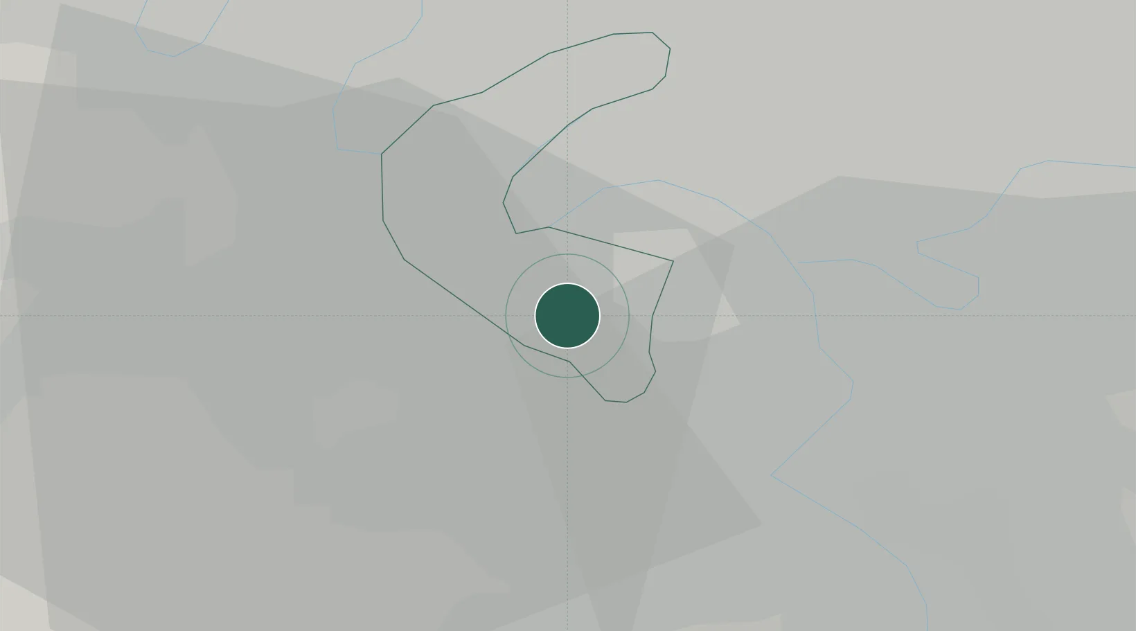
Le Plessis-Robinson
48.7833°, 2.2667°
22,510
Population
2
Transport functions
Transport Functions
Rail
Road
Hub Profile
Place type
Populated place
Region
Île-de-France
Population
22,510
Time zone
Europe/Paris
Elevation
159 m
Location
Nearby Logistics Neighbours
Cities
- 1Bagneux3 km
- 2Châtillon3 km
- 3Meudon3 km
- 4Bourg-la-Reine4 km
- 5Cachan5 km
Ports
- 1Port Of Rouen115 km
- 2Dieppe154 km
- 3Le Treport157 km
- 4Saint-Valery-Sur-Somme163 km
- 5Honfleur165 km
Airports
Trade Zones
DatabookThe Record of Consolidated Knowledge
France beyond logistics?