UN/LOCODE hub · France
FROGB

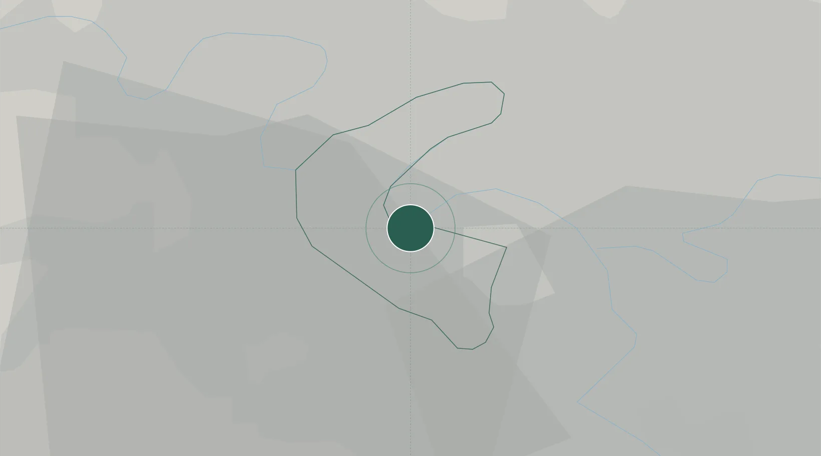
Boulogne-Billancourt

48.8333°, 2.2500°
108,782
Population
2
Transport functions

Transport Functions

Port
Road
UN/LOCODE

Hub Profile

Place type
District seat
GeoNames
Region
Île-de-France
GeoNames
Population
108,782
GeoNames
Time zone
Europe/Paris
GeoNames
Elevation
35 m
GeoNames

Location

Location of FROGB
Natural Earth 10m (public domain) · Île-de-France · FROGB · 48.83, 2.25GoogleOSMYandex

Nearby Logistics Neighbours

Cities
  1. 1Vanves2 km
  2. 2Meudon4 km
  3. 3Garches5 km
  4. 4Bagneux5 km
  5. 5Châtillon5 km
Nearest neighbours — logibook spatial index (haversine) over the source coordinates
Ports
  1. 1Port Of Rouen110 km
  2. 2Dieppe149 km
  3. 3Le Treport151 km
  4. 4Saint-Valery-Sur-Somme157 km
  5. 5Honfleur162 km
Nearest neighbours — logibook spatial index (haversine) over the source coordinates
Airports
  1. 1Vélizy-Villacoublay Air Base7 km
  2. 2Toussus-le-Noble Airport14 km
  3. 3Paris-Orly Airport16 km
  4. 4Paris-Le Bourget International Airport20 km
  5. 5Charles de Gaulle International Airport30 km
Nearest neighbours — logibook spatial index (haversine) over the source coordinates
Trade Zones
  1. 1ZFU Vitry-sur-Seine11 km
  2. 2ZFU Argenteuil13 km
  3. 3ZFU Aubervilliers, Bobigny, Drancy et Pantin13 km
  4. 4ZFU Sartrouville13 km
  5. 5ZFU Epinay-sur-Seine14 km
Nearest neighbours — logibook spatial index (haversine) over the source coordinates
DatabookThe Record of Consolidated Knowledge
France beyond logistics?
Browse databook

All Sources

LocationsUN/LOCODE
UN/LOCODE — free
LocationsGeoNames
CC BY 4.0
Portsthe NGA World Port Index
Public domain (US gov)
AirportsOurAirports
Public domain
Trade Zonesthe World Bank SEZ database
CC BY 4.0
Trade ZonesOpen Zone Map
CC BY
← France locations