Transport Functions
Rail
Road
Hub Profile
Place type
Populated place
Region
Île-de-France
Population
16,137
Time zone
Europe/Paris
Elevation
110 m
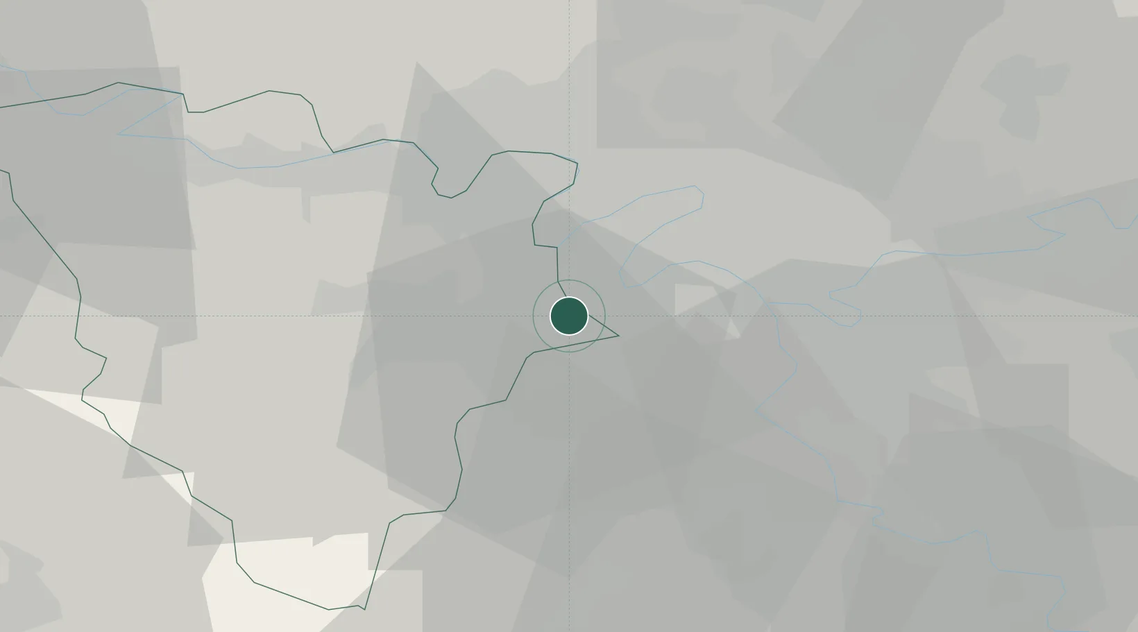
Location
Nearby Logistics Neighbours
Cities
- 1Vélizy-Villacoublay1 km
- 2Versailles2 km
- 3Jouy-en-Josas4 km
- 4Garches4 km
- 5Les Loges-en-Josas4 km
Ports
- 1Port Of Rouen108 km
- 2Dieppe148 km
- 3Le Treport152 km
- 4Honfleur158 km
- 5Saint-Valery-Sur-Somme159 km
Airports
Trade Zones
- 1ZFU Trappes13 km
- 2ZFU Sartrouville15 km
- 3ZFU Vitry-sur-Seine16 km
- 4ZFU Argenteuil17 km
- 5ZFU Choisy-le-Roi et Orly18 km
DatabookThe Record of Consolidated Knowledge
France beyond logistics?