Transport Functions
Multimodal
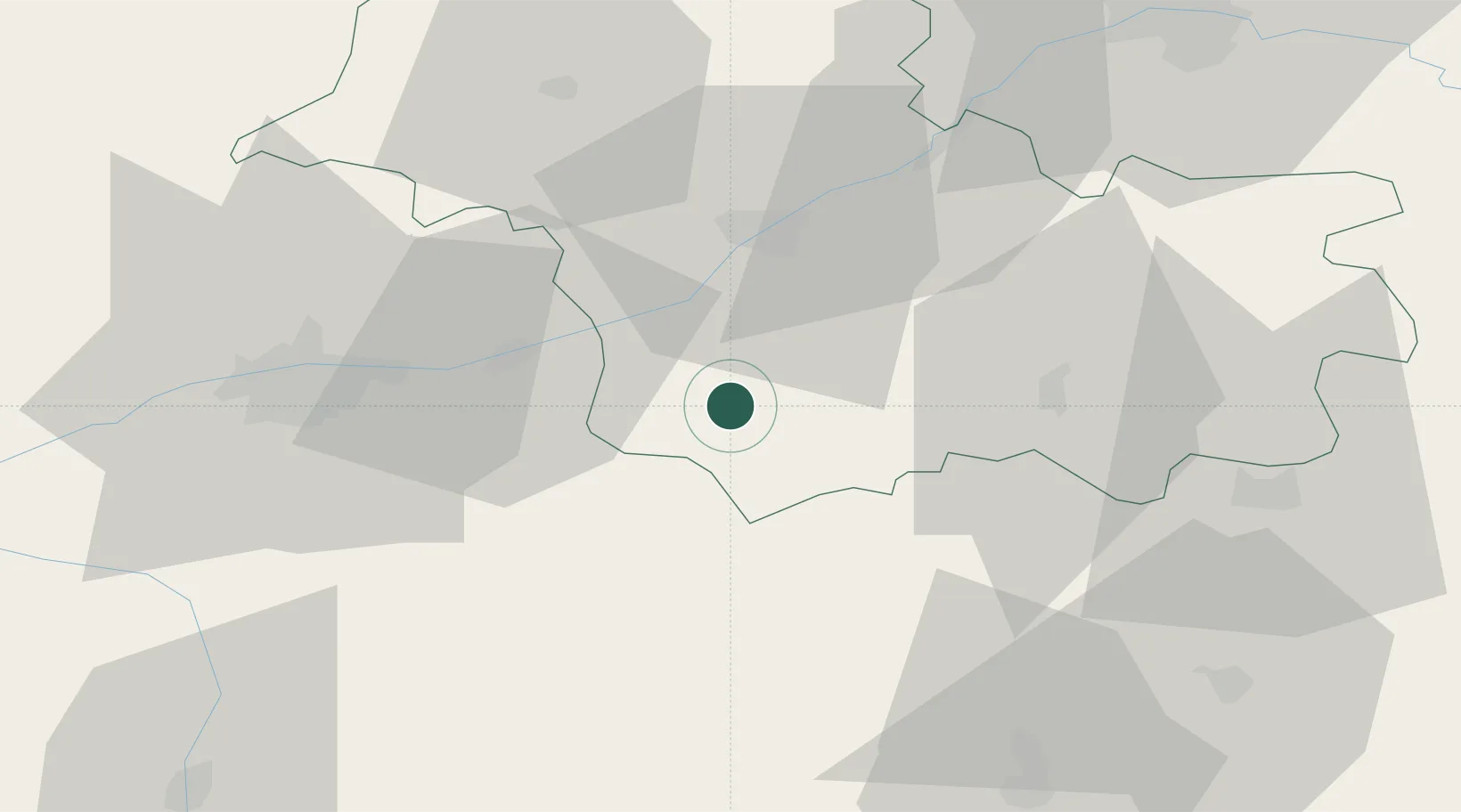
Hub Profile
Place type
Populated place
Region
Centre-Val de Loire
Population
940
Time zone
Europe/Paris
Elevation
74 m
Location
Nearby Logistics Neighbours
Ports
- 1Nantes217 km
- 2La Rochelle229 km
- 3Tonnay Charente230 km
- 4La Pallice233 km
- 5Rochefort233 km
Airports
- 1Tours Val de Loire Airport44 km
- 2Châteauroux Déols airport63 km
- 3Orléans-Bricy (BA 123) Air Base79 km
- 4Châteaudun Airfield79 km
- 5Bourges airport87 km
Trade Zones
- 1ZFU Blois26 km
- 2ZFU Orléans71 km
- 3ZFU Bourges83 km
- 4ZFU Le Mans113 km
- 5ZFU Angers144 km
DatabookThe Record of Consolidated Knowledge
France beyond logistics?