UN/LOCODE hub · France
FRIPP

La Regrippière

47.1833°, -1.1833°
1,167
Population
1
Transport functions

Transport Functions

Multimodal
UN/LOCODE

Hub Profile

Place type
Populated place
GeoNames
Region
Pays de la Loire
GeoNames
Population
1,167
GeoNames
Time zone
Europe/Paris
GeoNames
Elevation
77 m
GeoNames

Location

Location of FRIPP
Natural Earth 10m (public domain) · Pays de la Loire · FRIPP · 47.18, -1.18GoogleOSMYandex

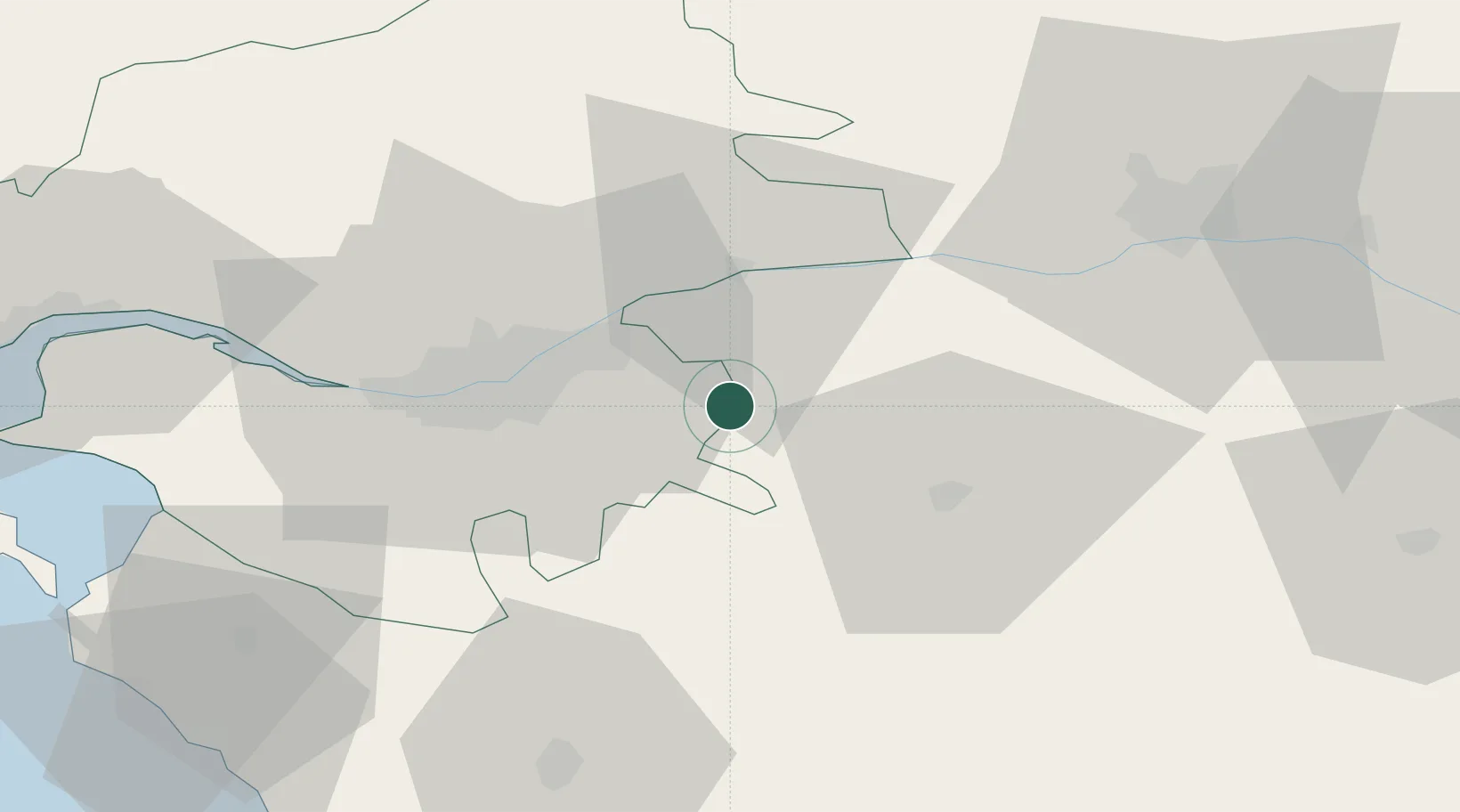
Nearby Logistics Neighbours

Cities
  1. 1La Chaussaire4 km
  2. 2La Remaudière8 km
  3. 3Saint-Christophe-la-Couperie8 km
  4. 4Saint-Crespin-sur-Moine9 km
  5. 5Landemont11 km
Nearest neighbours — logibook spatial index (haversine) over the source coordinates
Ports
  1. 1Nantes29 km
  2. 2Donges68 km
  3. 3Montoir73 km
  4. 4St Nazaire78 km
  5. 5Les Sables D' Olonne89 km
Nearest neighbours — logibook spatial index (haversine) over the source coordinates
Airports
  1. 1Nantes Atlantique Airport33 km
  2. 2La Roche-sur-Yon Les Ajoncs Airport56 km
  3. 3Saint-Nazaire-Montoir Airport75 km
  4. 4Beauvoir Fromentine Airfield76 km
  5. 5Angers Marcé airport78 km
Nearest neighbours — logibook spatial index (haversine) over the source coordinates
Trade Zones
  1. 1ZFU Nantes et Saint-Herblain39 km
  2. 2ZFU Angers55 km
  3. 3ZFU Saint-Nazaire83 km
  4. 4ZFU La Rochelle114 km
  5. 5ZFU Le Mans132 km
Nearest neighbours — logibook spatial index (haversine) over the source coordinates
DatabookThe Record of Consolidated Knowledge
France beyond logistics?
Browse databook

All Sources

LocationsUN/LOCODE
UN/LOCODE — free
LocationsGeoNames
CC BY 4.0
Portsthe NGA World Port Index
Public domain (US gov)
AirportsOurAirports
Public domain
Trade Zonesthe World Bank SEZ database
CC BY 4.0
Trade ZonesOpen Zone Map
CC BY
← France locations