Transport Functions
Road
Multimodal
Hub Profile
Place type
Populated place
Region
Brittany
Population
1,474
Time zone
Europe/Paris
Elevation
95 m
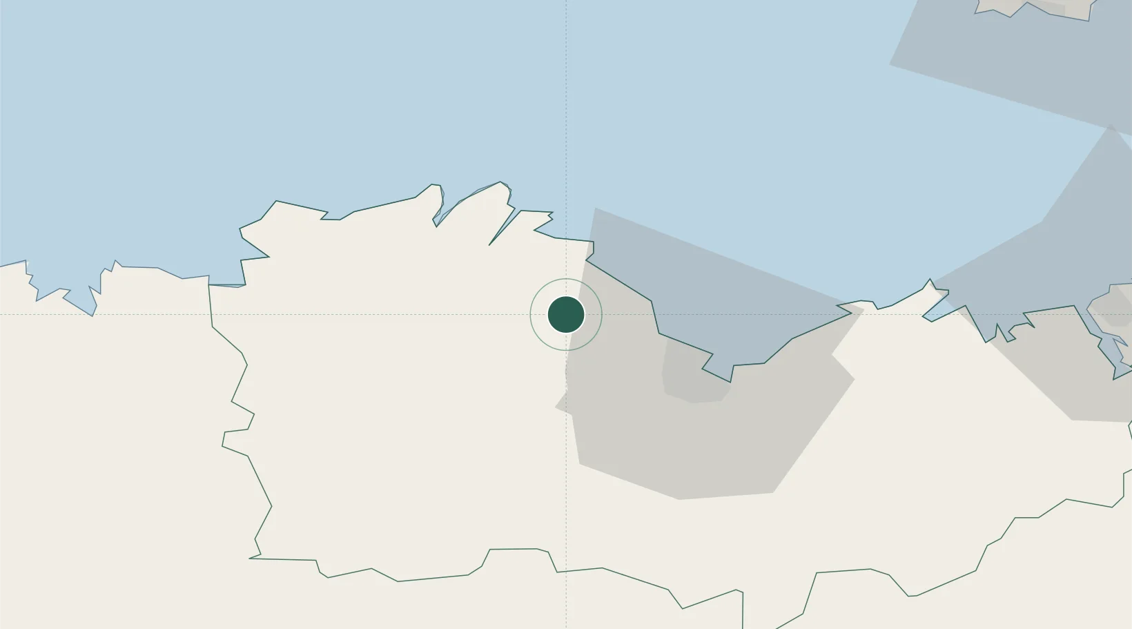
Location
Nearby Logistics Neighbours
Cities
- 1Le Faouët8 km
- 2Lanloup9 km
- 3Quemper-Guézennec11 km
- 4Binic12 km
- 5Plouézec13 km
Ports
- 1Pontrieux15 km
- 2Paimpol17 km
- 3Lezardrieux19 km
- 4Le Legue21 km
- 5Treguier25 km
Airports
- 1Saint-Brieuc-Armor Airport14 km
- 2Lannion Airport38 km
- 3Morlaix-Ploujean Airport61 km
- 4Dinard Pleurtuit Saint-Malo airport67 km
- 5Jersey Airport86 km
Trade Zones
- 1ZFU Cherbourg-Octeville147 km
- 2ZFU Saint-Nazaire160 km
- 3ZFU Nantes et Saint-Herblain184 km
- 4ZFU La Guérinière, La Grâce de Dieu198 km
- 5ZFU Hérouville-Saint-Clair203 km
DatabookThe Record of Consolidated Knowledge
France beyond logistics?