Transport Functions
Road
Multimodal
Hub Profile
Place type
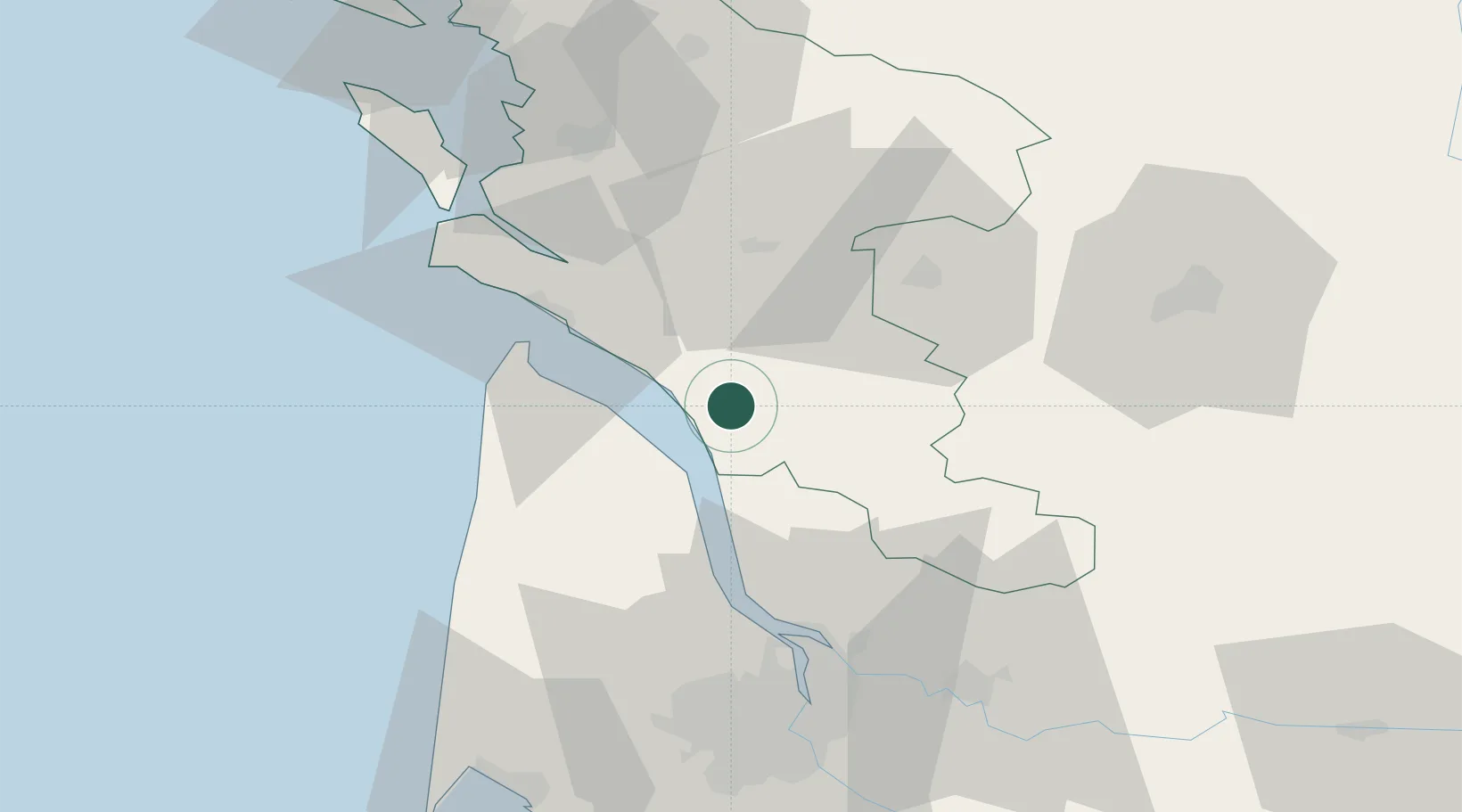
Populated place
Region
Nouvelle-Aquitaine
Population
443
Time zone
Europe/Paris
Elevation
39 m
Location
Nearby Logistics Neighbours
Cities
- 1Brie-sous-Mortagne8 km
- 2Champagnolles8 km
- 3Saint-Genis-de-Saintonge9 km
- 4Plassac9 km
- 5Saint-Palais-de-Phiolin10 km
Ports
- 1Pauillac28 km
- 2Le Verdon31 km
- 3Blaye35 km
- 4Ambes50 km
- 5Tonnay Charente56 km
Airports
Trade Zones
- 1Port de Bordeaux61 km
- 2ZFU Hauts de Garonne70 km
- 3ZFU La Rochelle89 km
- 4ZFU Nantes et Saint-Herblain212 km
- 5ZFU Angers226 km
DatabookThe Record of Consolidated Knowledge
France beyond logistics?