UN/LOCODE hub · France
FRCS5

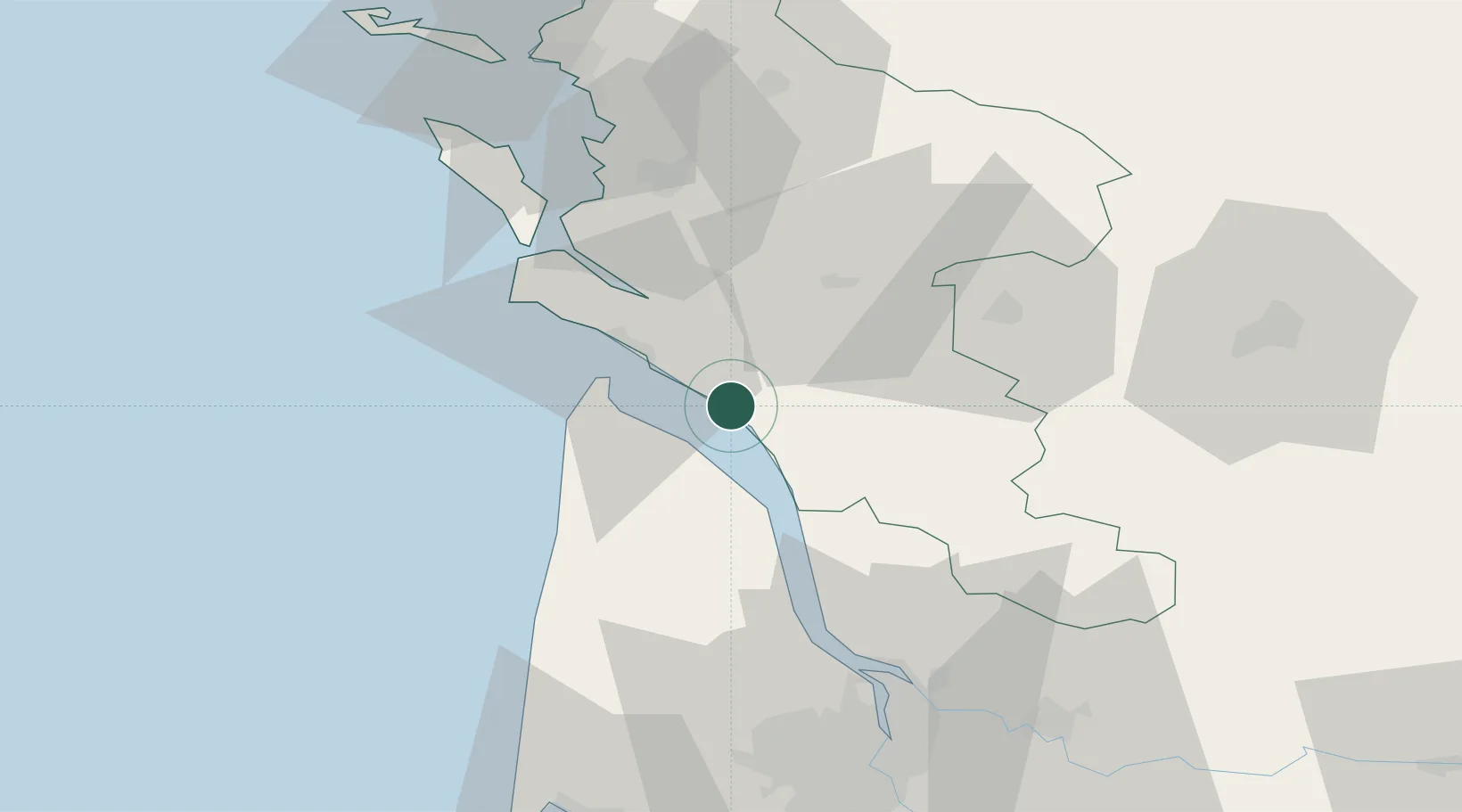
Chenac-Saint-Seurin-d'Uzet

45.5167°, -0.8333°
619
Population
2
Transport functions

Transport Functions

Port
Multimodal
UN/LOCODE

Hub Profile

Place type
Populated place
GeoNames
Region
Nouvelle-Aquitaine
GeoNames
Population
619
GeoNames
Time zone
Europe/Paris
GeoNames
Elevation
34 m
GeoNames

Location

Location of FRCS5
Natural Earth 10m (public domain) · Nouvelle-Aquitaine · FRCS5 · 45.52, -0.83GoogleOSMYandex

Nearby Logistics Neighbours

Cities
  1. 1Talmont-sur-Gironde6 km
  2. 2Brie-sous-Mortagne7 km
  3. 3Cozes7 km
  4. 4Éraville7 km
  5. 5Virollet10 km
Nearest neighbours — logibook spatial index (haversine) over the source coordinates
Ports
  1. 1Le Verdon17 km
  2. 2Pauillac36 km
  3. 3Blaye45 km
  4. 4Tonnay Charente47 km
  5. 5Rochefort47 km
Nearest neighbours — logibook spatial index (haversine) over the source coordinates
Airports
  1. 1Royan-Médis Airport17 km
  2. 2Rochefort-Saint-Agnant (BA 721) Airport43 km
  3. 3Cognac-Châteaubernard (BA 709) Air Base43 km
  4. 4Bordeaux–Mérignac Airport77 km
  5. 5La Rochelle Île de Ré Airport79 km
Nearest neighbours — logibook spatial index (haversine) over the source coordinates
Trade Zones
  1. 1Port de Bordeaux71 km
  2. 2ZFU La Rochelle78 km
  3. 3ZFU Hauts de Garonne79 km
  4. 4ZFU Nantes et Saint-Herblain201 km
  5. 5ZFU Angers219 km
Nearest neighbours — logibook spatial index (haversine) over the source coordinates
DatabookThe Record of Consolidated Knowledge
France beyond logistics?
Browse databook

All Sources

LocationsUN/LOCODE
UN/LOCODE — free
LocationsGeoNames
CC BY 4.0
Portsthe NGA World Port Index
Public domain (US gov)
AirportsOurAirports
Public domain
Trade Zonesthe World Bank SEZ database
CC BY 4.0
Trade ZonesOpen Zone Map
CC BY
← France locations