Transport Functions
Rail
Hub Profile
Place type
District seat
Region
Brittany
Population
9,023
Time zone
Europe/Paris
Elevation
73 m
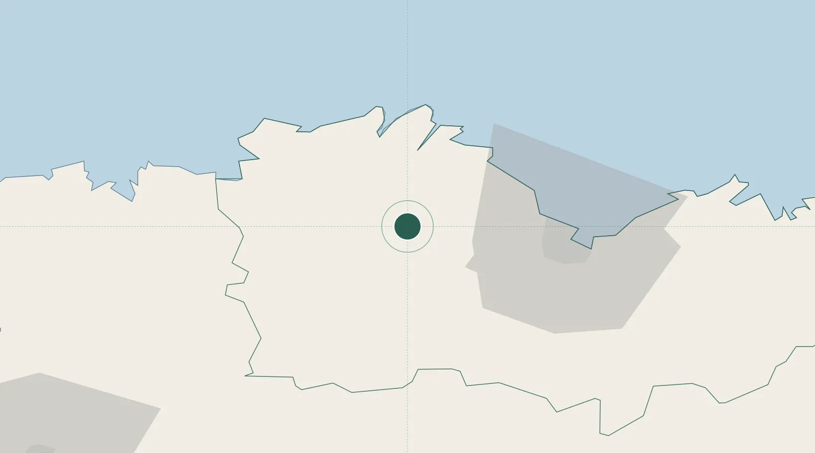
Location
Nearby Logistics Neighbours
Ports
- 1Pontrieux16 km
- 2Treguier25 km
- 3Lezardrieux25 km
- 4Paimpol25 km
- 5Le Legue30 km
Airports
- 1Saint-Brieuc-Armor Airport22 km
- 2Lannion Airport32 km
- 3Morlaix-Ploujean Airport49 km
- 4Landivisiau Air Base74 km
- 5Dinard Pleurtuit Saint-Malo airport79 km
Trade Zones
- 1ZFU Saint-Nazaire158 km
- 2ZFU Cherbourg-Octeville161 km
- 3ZFU Nantes et Saint-Herblain184 km
- 4ZFU La Guérinière, La Grâce de Dieu212 km
- 5Oceansgate Plymouth214 km
DatabookThe Record of Consolidated Knowledge
France beyond logistics?