UN/LOCODE hub · France
FRCL4
La Chartre-sur-le-Loir
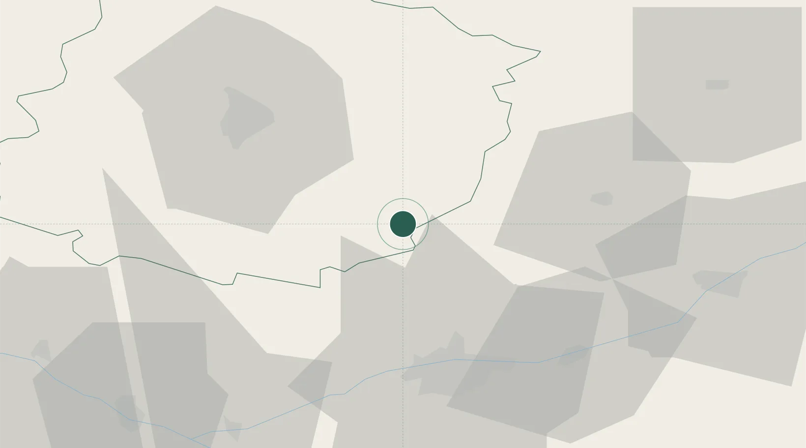
47.7333°, 0.5833°
1,633
Population
1
Transport functions
Transport Functions
Multimodal
Hub Profile
Place type
Populated place
Region
Pays de la Loire
Population
1,633
Time zone
Europe/Paris
Elevation
56 m
Location
Nearby Logistics Neighbours
Cities
- 1Lhomme3 km
- 2Ruillé-sur-Loir3 km
- 3Chahaignes5 km
- 4Marçon5 km
- 5Bueil-en-Touraine10 km
Ports
- 1Nantes172 km
- 2Port De Caen175 km
- 3Ouistreham183 km
- 4Deauville185 km
- 5Honfleur189 km
Airports
- 1Tours Val de Loire Airport35 km
- 2Le Mans-Arnage Airport37 km
- 3Châteaudun Airfield70 km
- 4Angers Marcé airport70 km
- 5Orléans-Bricy (BA 123) Air Base92 km
Trade Zones
- 1ZFU Le Mans44 km
- 2ZFU Blois54 km
- 3ZFU Alençon86 km
- 4ZFU Angers93 km
- 5ZFU Orléans95 km
DatabookThe Record of Consolidated Knowledge
France beyond logistics?