Transport Functions
Road
Multimodal
Hub Profile
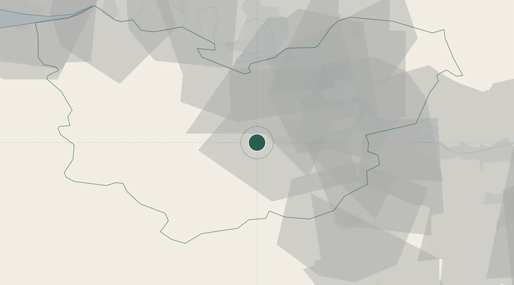
Place type
Populated place
Region
Normandy
Population
345
Time zone
Europe/Paris
Elevation
129 m
Location
Nearby Logistics Neighbours
Cities
- 1Autheuil-Authouillet16 km
- 2Île-de-Bréhat19 km
- 3Louviers22 km
- 4Condé-sur-Iton22 km
- 5Vironvay23 km
Ports
- 1Port Of Rouen48 km
- 2Honfleur76 km
- 3Deauville81 km
- 4Port Of Le Havre86 km
- 5Fecamp98 km
Airports
Trade Zones
- 1ZFU Évreux6 km
- 2ZFU Dreux et Sainte-Gemme-Moronval38 km
- 3ZFU Mantes-la-Jolie47 km
- 4ZFU Rouen Bihorel50 km
- 5ZFU Les Mureaux60 km
DatabookThe Record of Consolidated Knowledge
France beyond logistics?