Transport Functions
Rail
Road
Hub Profile
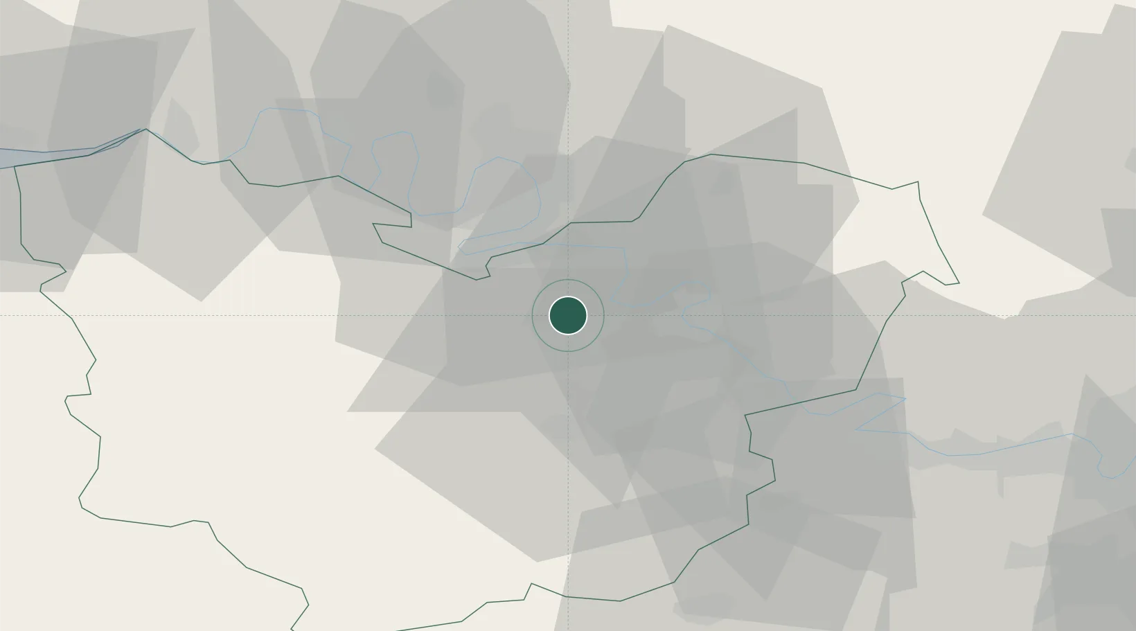
Place type
Populated place
Region
Normandy
Population
19,220
Time zone
Europe/Paris
Elevation
23 m
Location
Nearby Logistics Neighbours
Cities
- 1Vironvay4 km
- 2Heudebouville6 km
- 3Val-de-Reuil8 km
- 4Muids10 km
- 5Poses12 km
Ports
- 1Port Of Rouen29 km
- 2Honfleur73 km
- 3Deauville81 km
- 4Dieppe82 km
- 5Port Of Le Havre82 km
Airports
Trade Zones
- 1ZFU Évreux20 km
- 2ZFU Rouen Bihorel30 km
- 3ZFU Mantes-la-Jolie46 km
- 4ZFU Dreux et Sainte-Gemme-Moronval52 km
- 5ZFU Les Mureaux58 km
DatabookThe Record of Consolidated Knowledge
France beyond logistics?