Transport Functions
Rail
Road
Hub Profile
Place type
Populated place
Region
Rhône-Alpes
Time zone
Europe/Paris
Elevation
612 m
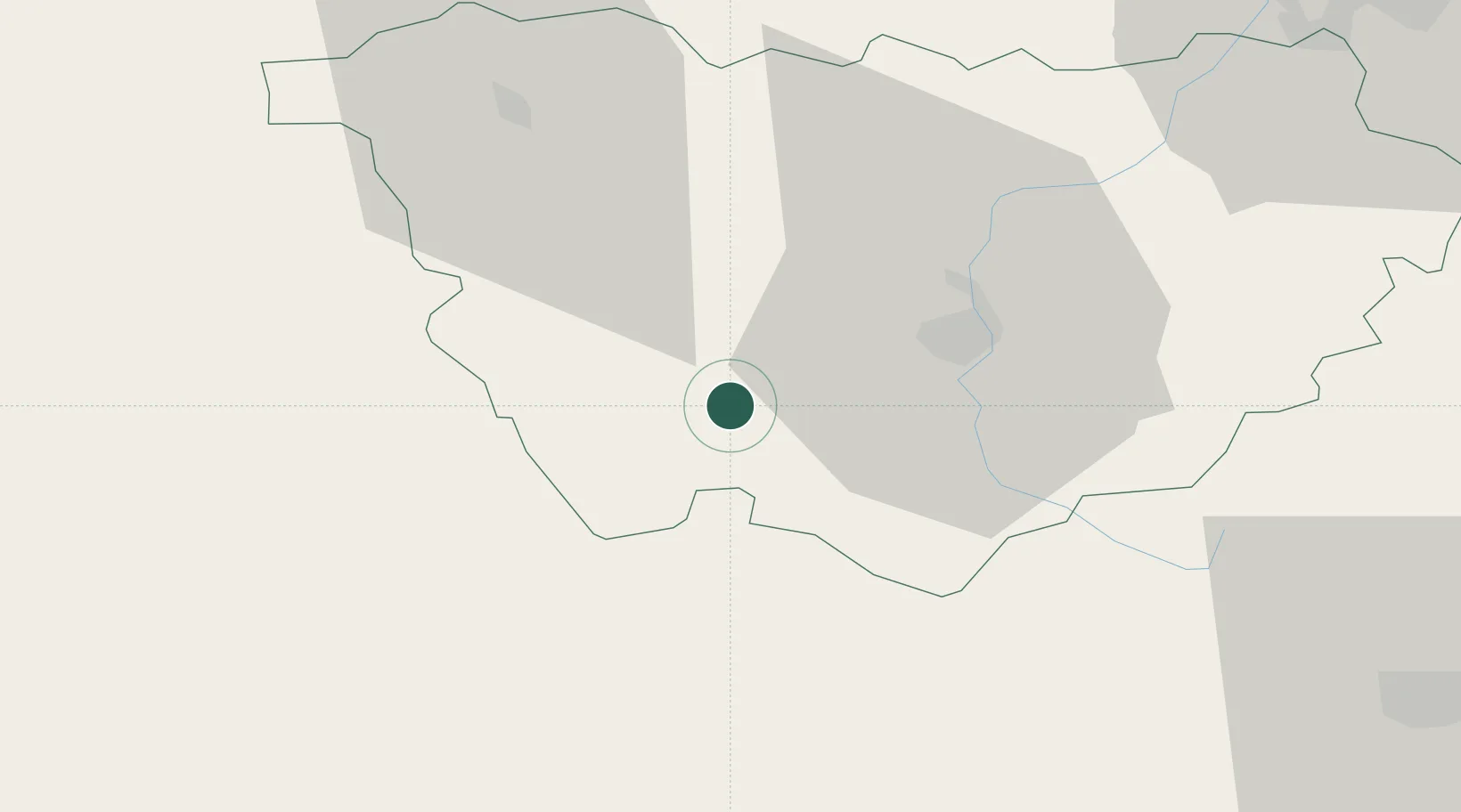
Location
Nearby Logistics Neighbours
Cities
- 1Le Puy-en-Velay21 km
- 2Vernassal21 km
- 3Polignac21 km
- 4Fontanes24 km
- 5Céaux-d'Allègre24 km
Ports
- 1Sete174 km
- 2Fos199 km
- 3Port Saint Louis Du Rhone200 km
- 4Port-de-Bouc205 km
- 5Port-La-Nouvelle222 km
Airports
- 1Le Puy-Loudes Airfield16 km
- 2Mende-Brenoux Airfield52 km
- 3Aubenas-South Ardèche Airport75 km
- 4Saint-Étienne-Bouthéon Airport82 km
- 5Aurillac airport96 km
Trade Zones
- 1ZFU Saint-Etienne73 km
- 2ZFU Valence96 km
- 3ZFU Clermont-Ferrand101 km
- 4ZFU Vénissieux125 km
- 5ZFU Lyon 9e128 km
DatabookThe Record of Consolidated Knowledge
France beyond logistics?