Transport Functions
Multimodal
Hub Profile
Place type
Populated place
Region
Occitanie
Population
125
Time zone
Europe/Paris
Elevation
1,034 m
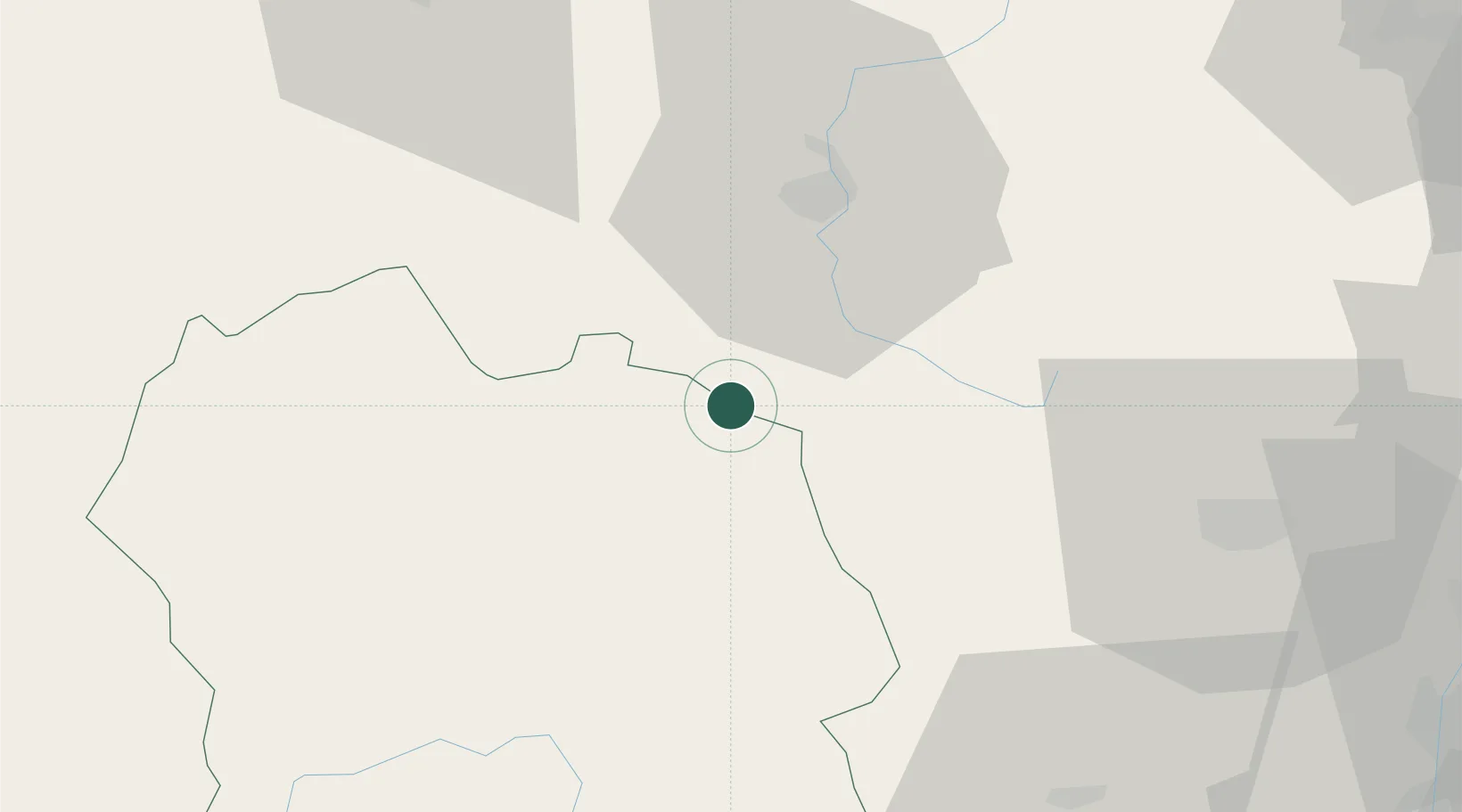
Location
Nearby Logistics Neighbours
Cities
- 1Auroux5 km
- 2Langogne9 km
- 3Lantriac24 km
- 4Monistrol-d'Allier24 km
- 5Le Puy-en-Velay29 km
Ports
- 1Sete154 km
- 2Fos176 km
- 3Port Saint Louis Du Rhone176 km
- 4Port-de-Bouc181 km
- 5Port-La-Nouvelle205 km
Airports
Trade Zones
- 1ZFU Saint-Etienne82 km
- 2ZFU Valence85 km
- 3ZFU Nîmes116 km
- 4ZFU Avignon123 km
- 5ZFU Clermont-Ferrand125 km
DatabookThe Record of Consolidated Knowledge
France beyond logistics?