Transport Functions
Multimodal
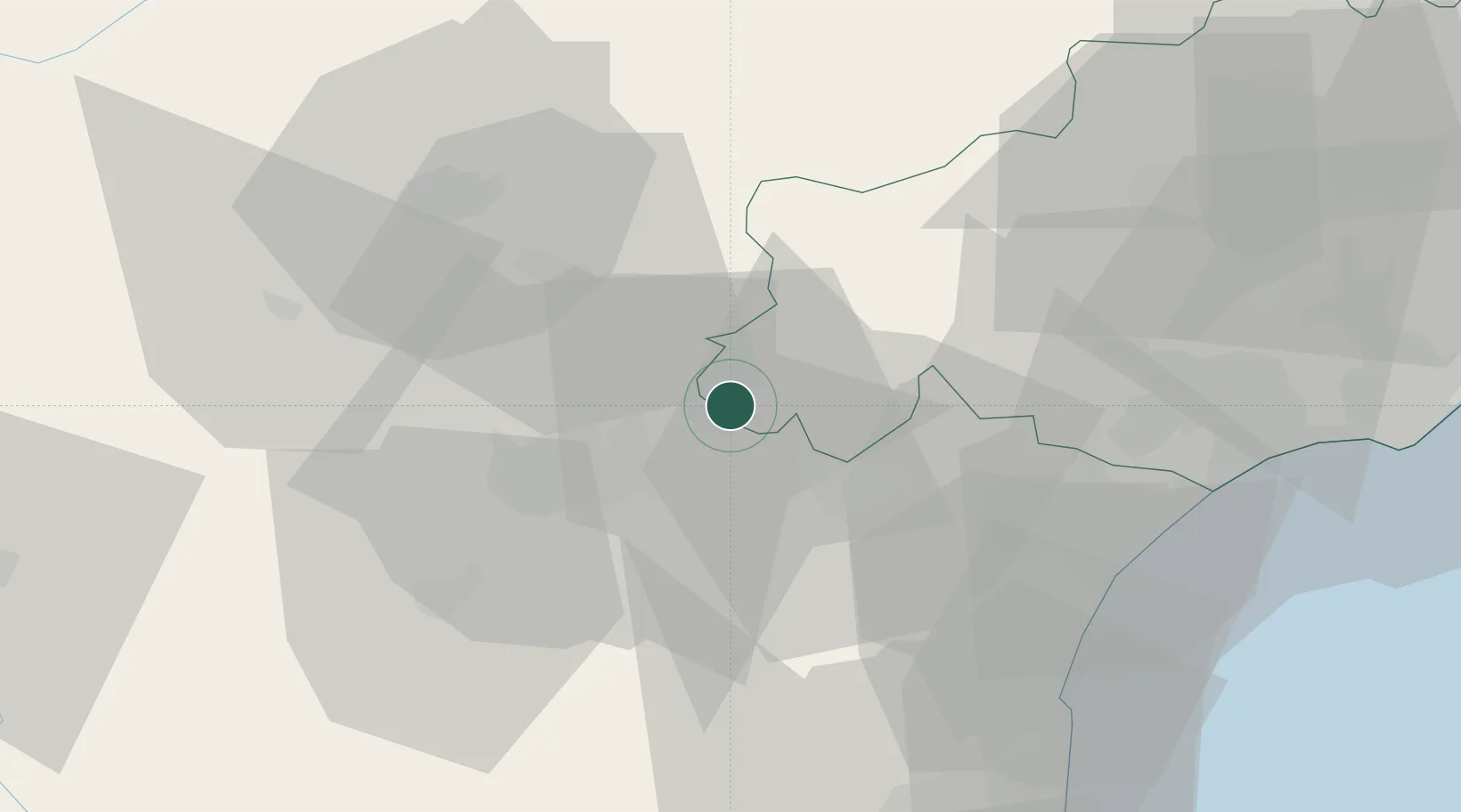
Hub Profile
Place type
Populated place
Region
Occitanie
Population
440
Time zone
Europe/Paris
Elevation
161 m
Location
Nearby Logistics Neighbours
Cities
- 1Trausse3 km
- 2Peyriac-Minervois5 km
- 3Siran6 km
- 4Caunes-Minervois7 km
- 5Azille8 km
Ports
- 1Port-La-Nouvelle52 km
- 2Sete89 km
- 3Port-Vendres100 km
- 4Rosas128 km
- 5Palamos172 km
Airports
Trade Zones
- 1ZFU Béziers50 km
- 2ZFU Perpignan74 km
- 3ZFU Toulouse98 km
- 4ZFU Montpellier105 km
- 5ZFU Nîmes151 km
DatabookThe Record of Consolidated Knowledge
France beyond logistics?