Transport Functions
Road
Multimodal
Hub Profile
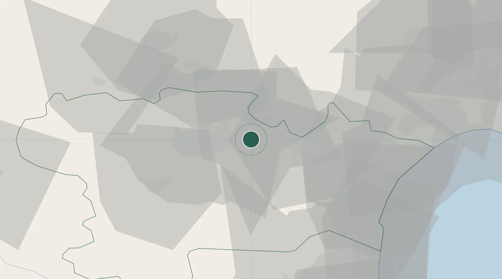
Place type
Populated place
Region
Occitanie
Population
192
Time zone
Europe/Paris
Elevation
76 m
Location
Nearby Logistics Neighbours
Cities
- 1La Redorte5 km
- 2Badens6 km
- 3Peyriac-Minervois6 km
- 4Blomac6 km
- 5Trausse7 km
Ports
- 1Port-La-Nouvelle48 km
- 2Port-Vendres93 km
- 3Sete93 km
- 4Rosas120 km
- 5Palamos164 km
Airports
Trade Zones
- 1ZFU Béziers53 km
- 2ZFU Perpignan67 km
- 3ZFU Toulouse99 km
- 4ZFU Montpellier111 km
- 5ZFU Nîmes157 km
DatabookThe Record of Consolidated Knowledge
France beyond logistics?