UN/LOCODE hub · France
FRWPM
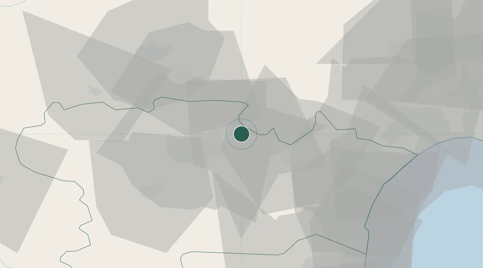
Peyriac-Minervois
43.3000°, 2.5667°
1,070
Population
1
Transport functions
Transport Functions
Multimodal
Hub Profile
Place type
Populated place
Region
Occitanie
Population
1,070
Time zone
Europe/Paris
Elevation
138 m
Location
Nearby Logistics Neighbours
Cities
- 1Trausse2 km
- 2Félines-Minervois5 km
- 3Caunes-Minervois6 km
- 4Saint-Frichoux6 km
- 5La Redorte8 km
Ports
- 1Port-La-Nouvelle51 km
- 2Sete92 km
- 3Port-Vendres98 km
- 4Rosas125 km
- 5Palamos169 km
Airports
Trade Zones
- 1ZFU Béziers53 km
- 2ZFU Perpignan72 km
- 3ZFU Toulouse97 km
- 4ZFU Montpellier109 km
- 5ZFU Nîmes155 km
DatabookThe Record of Consolidated Knowledge
France beyond logistics?