UN/LOCODE hub · France
FRFVE

Fauverney

47.2500°, 5.1500°
706
Population
1
Transport functions

Transport Functions

Multimodal
UN/LOCODE

Hub Profile

Place type
Populated place
GeoNames
Region
Bourgogne
GeoNames
Population
706
GeoNames
Time zone
Europe/Paris
GeoNames
Elevation
217 m
GeoNames

Location

Location of FRFVE
Natural Earth 10m (public domain) · Bourgogne · FRFVE · 47.25, 5.15GoogleOSMYandex

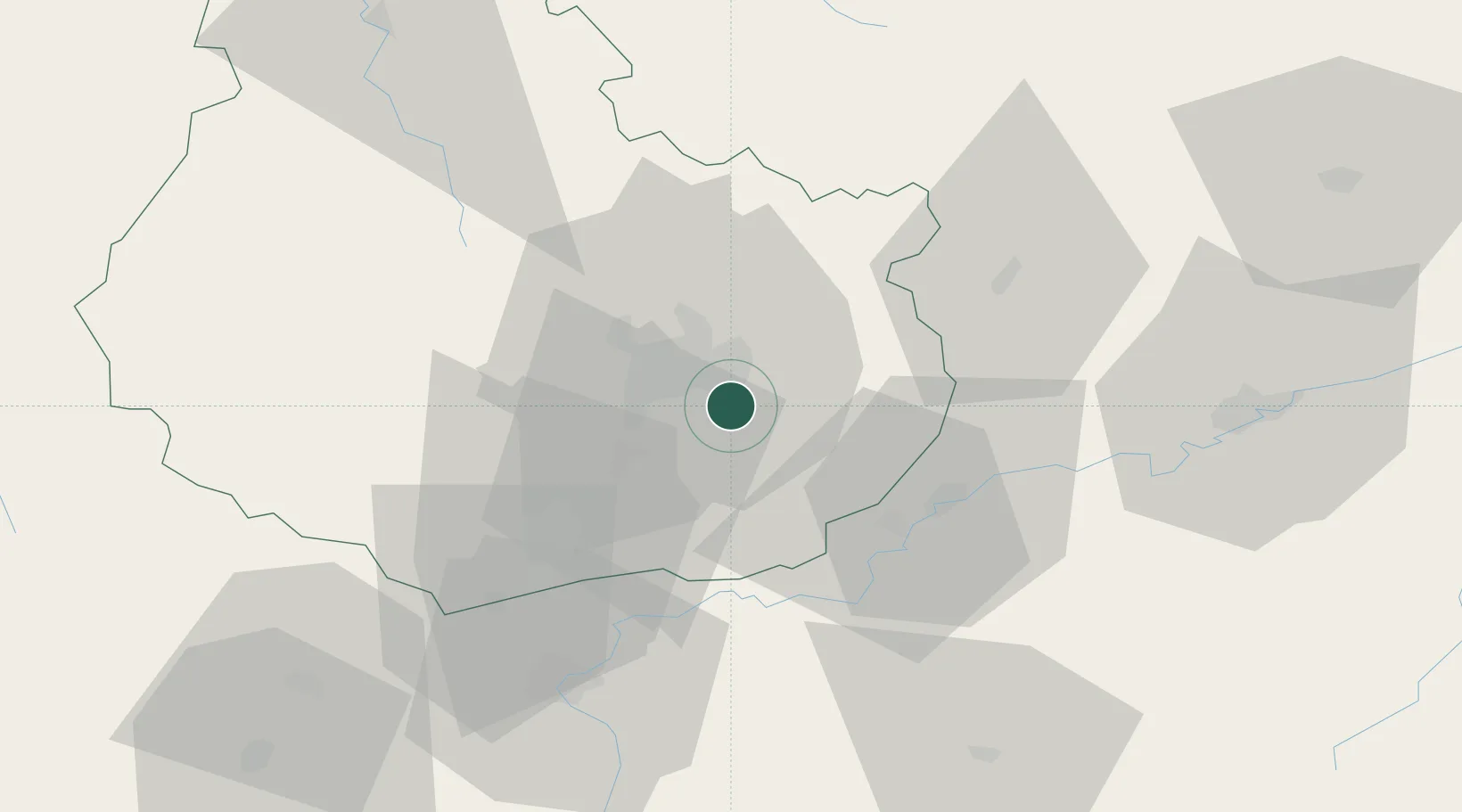
Nearby Logistics Neighbours

Cities
  1. 1Crimolois3 km
  2. 2Neuilly-lès-Dijon5 km
  3. 3Saulon-la-Chapelle6 km
  4. 4Fénay7 km
  5. 5Tart-le-Haut7 km
Nearest neighbours — logibook spatial index (haversine) over the source coordinates
Ports
  1. 1Port Of Rouen388 km
  2. 2Bruxelles406 km
  3. 3Saint-Valery-Sur-Somme417 km
  4. 4Savona417 km
  5. 5Le Treport419 km
Nearest neighbours — logibook spatial index (haversine) over the source coordinates
Airports
  1. 1Dijon Longvic airport5 km
  2. 2Dole Tavaux Airport32 km
  3. 3Vesoul-Frotey Airfield90 km
  4. 4Luxeuil-Saint-Sauveur (BA 116) Air Base108 km
  5. 5Mâcon-Charnay Airfield110 km
Nearest neighbours — logibook spatial index (haversine) over the source coordinates
Trade Zones
  1. 1ZFU Chenôve13 km
  2. 2ZFU Besancon65 km
  3. 3PESA - Port-Franc et Entrepôts de Lausanne-Chavornay SA123 km
  4. 4ZFU Montbéliard126 km
  5. 5ZFU Belfort132 km
Nearest neighbours — logibook spatial index (haversine) over the source coordinates
DatabookThe Record of Consolidated Knowledge
France beyond logistics?
Browse databook

All Sources

LocationsUN/LOCODE
UN/LOCODE — free
LocationsGeoNames
CC BY 4.0
Portsthe NGA World Port Index
Public domain (US gov)
AirportsOurAirports
Public domain
Trade Zonesthe World Bank SEZ database
CC BY 4.0
Trade ZonesOpen Zone Map
CC BY
← France locations